Near Grasonville in Queen Anne's County, Maryland — The American Northeast (Mid-Atlantic)
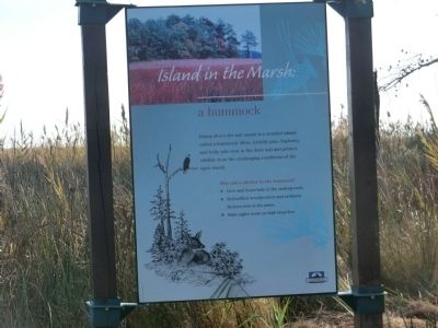
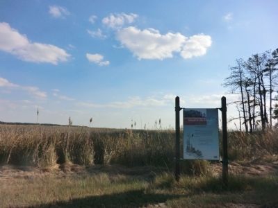
Island in the Marsh: a hummock
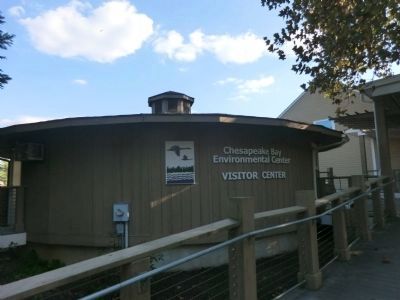
Chesapeake Bay Environmental Center
Rising above the salt marsh is a wooded island called a hummock. Here, loblolly pine, bayberry, and holly take root in the drier soil and protect wildlife from the challenging conditions of the open marsh.
Who takes shelter in the hummock?
✤ Deer and foxes hid in the undergrowth.
✤ Red-bellied woodpeckers and northern flickers nest in the pines.
✤ Bald eagles roost on high branches.
Erected by Chesapeake Bay Gateways Network.
Topics. This historical marker is listed in these topic lists: Animals • Environment.
Location. 38° 56.886′ N, 76° 13.734′ W. Marker is near Grasonville, Maryland, in Queen Anne's County. Marker is on Discovery Lane. Touch for map. Marker is in this post office area: Grasonville MD 21638, United States of America. Touch for directions.
Other nearby markers. At least 8 other markers are within 3 miles of this marker, measured as the crow flies. Forest Values for the Bay: loblolly pine plantation (approx. 0.6 miles away); Haven for Biodiversity: hardwood forest (approx. 0.8 miles away); Working the Waters (approx. 1.6 miles away); US M60 "Patton" Tank (approx. 1.6 miles away); Crossing Point (approx. 1.6 miles away); VFW Post 7464 Memorial (approx. 1.6 miles away); Veterans Memorial (approx. 1.6 miles away); Enemy Occupation (approx. 2.1 miles away). Touch for a list and map of all markers in Grasonville.
Credits. This page was last revised on August 28, 2022. It was originally submitted on November 2, 2013, by Don Morfe of Baltimore, Maryland. This page has been viewed 511 times since then and 21 times this year. Photos: 1, 2, 3, 4, 5, 6. submitted on November 2, 2013, by Don Morfe of Baltimore, Maryland. • Bill Pfingsten was the editor who published this page.
