Near Old Fort in Seneca County, Ohio — The American Midwest (Great Lakes)
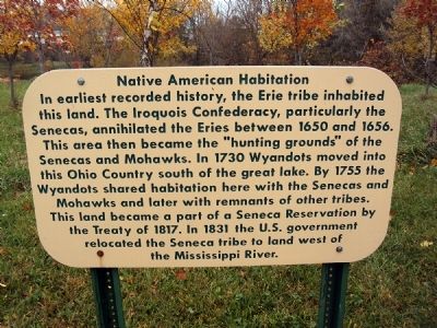
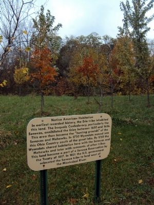
Native American Habitation
Erected by Seneca County Park District.
Topics. This historical marker is listed in these topic lists: Government & Politics • Native Americans. A significant historical year for this entry is 1650.
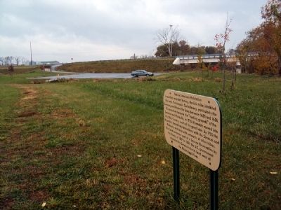
Location. 41° 12.555′ N, 83° 8.687′ W. Marker is near Old Fort, Ohio, in Seneca County. Marker can be reached from County Road 33, 0.2 miles south of Local Road 0145 when traveling east. The sign is along a hiking trail next to a small shelter just east of the parking lot for Steyer Park, a part of the Seneca County Park District. Touch for map. Marker is in this post office area: Old Fort OH 44861, United States of America. Touch for directions.
Other nearby markers. At least 8 other markers are within 5 miles of this marker, measured as the crow flies. Pleasant Township Civil War Memorial (approx. 1.1 miles away); Fort Seneca (approx. 1.2 miles away); to Brady's Island / to Battle Island (approx. 1.2 miles away); Old Fort High School World War II Memorial (approx. 1.8 miles away); Fort Seneca - Harrison Trail (approx. 2 miles away); P.M. Gilmor Old Fort Bridge (approx. 2.1 miles away); Old Fort Centennial Park (approx. 2.2 miles away); Mull Covered Bridge / Covered Bridges (approx. 4.1 miles away). Touch for a list and map of all markers in Old Fort.
Also see . . .
1. The Seneca Reservation. An entry from the book "Twentieth Century History of Sandusky County, Ohio and Representative Citizens." (Submitted on November 5, 2013, by Jamie Abel of Westerville, Ohio.)
2. Story Told by Judge Welsh. Excerpt from "And Then They Went West. Know Your Ohio." (Submitted on November 5, 2013, by Jamie Abel of Westerville, Ohio.)
Credits. This page was last revised on June 16, 2016. It was originally submitted on November 5, 2013, by Jamie Abel of Westerville, Ohio. This page has been viewed 709 times since then and 25 times this year. Photos: 1, 2, 3. submitted on November 5, 2013, by Jamie Abel of Westerville, Ohio. • Al Wolf was the editor who published this page.


