Marshall in Clark County, Illinois — The American Midwest (Great Lakes)
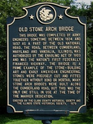
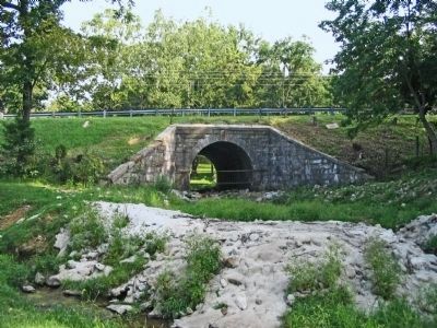
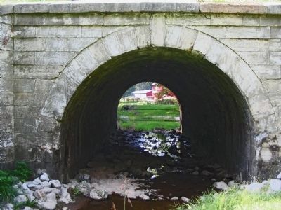
Old Stone Arch Bridge
Erected 1976 by the Clark County Historical Society and the Illinois State Historical Society.
Topics and series. This historical marker is listed in these topic lists: Bridges & Viaducts • Roads & Vehicles. In addition, it is included in the Illinois State Historical Society, and the The Historic National Road series lists. A significant historical year for this entry is 1834.
Location. 39° 23.188′ N, 87° 42.51′ W. Marker is in Marshall, Illinois, in Clark County. Marker is on National Road (Avery Avenue) (U.S. 40) east of Oak Crest Road, on the right when traveling west. Touch for map. Marker is in this post office area: Marshall IL 62441, United States of America. Touch for directions.
Other nearby markers. At least 8 other markers are within walking distance of this marker. Don Stepp (approx. 0.7 miles away); All Gave Some, Some Gave All (approx. 0.7 miles away); Marshall, Illinois (approx. 0.7 miles away); Battlefield Cross (approx. 0.7 miles away); You Are Not Forgotten (approx. 0.7 miles away); 517 Locust Street (approx. 0.7 miles away); Harlan Hall (approx. ¾ mile away); Veterans Memorial (approx. ¾ mile away). Touch for a list and map of all markers in Marshall.
Credits. This page was last revised on October 9, 2019. It was originally submitted on January 5, 2014, by Allen C. Browne of Silver Spring, Maryland. This page has been viewed 1,185 times since then and 79 times this year. Photos: 1, 2, 3. submitted on January 5, 2014, by Allen C. Browne of Silver Spring, Maryland. • Al Wolf was the editor who published this page.


