Near Blanca in Alamosa County, Colorado — The American Mountains (Southwest)
Lt. Zebulon Pike's Southwestern Expedition
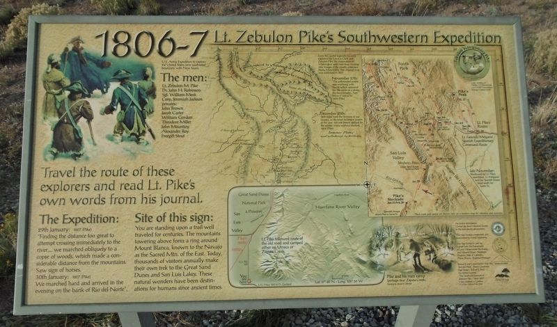
1806 - 7
Inscription.
Travel the route of these explorers and read Lt. Pike’s own words from his journal.
U.S. Army Expedition to explore the United States new southwest boundary with New Spain.
The men:
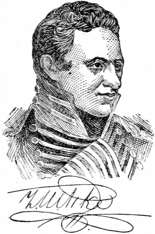
Lt. Zebulon M. Pike
Dr. John H. Robinson
Sgt. William Meek
Corp. Jeremish Jackson
privates:
John Brown
Jacob Carter
William Gordon
Theodore Miller
John Mountjoy
Alexander Roy
Freegift Stout
The Expedition:
29th January: 1807 (Pike)
“Finding the distance too great to attempt crossing immediately to the river, ... we marched obliquely to a copse of woods, which made a considerable distance from the mountains. Saw sign of horses.
30th January: 1807 (Pike)
We marched hard and arrived in the evening on the bank of Rio del Norte”.
Site of this sign:
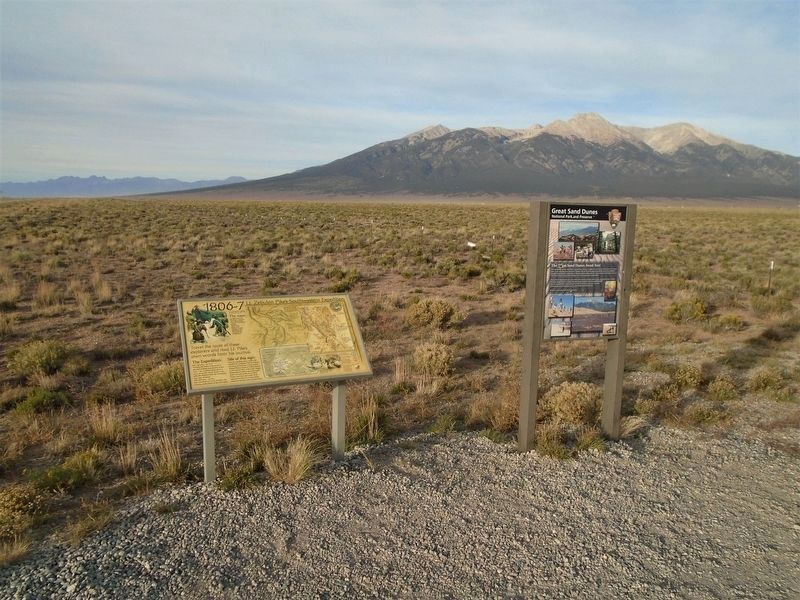
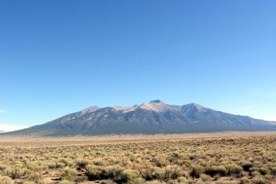
You are standing upon a trail well traveled for centuries. The mountains towering above form a ring around Mount Blanca, known to the Navajo as the Sacred Mtn. of the East. Today, thousands of visitors annually make their own trek to the Great Sand Dunes and San Luis Lakes. These natural wonders have been destinations for humans since ancient times.
From the careful logbooks by early explorers like Lewis & Clark and Zebulon Pike, the mapmakers of Washington were kept busy creating new images of the mostly unknown Rocky Mountains. This original map was published in 1807.
November 27th:
“The unbounded prairie was overhung with clouds, which appeared like the ocean in a storm ... the thermometer ... here fell to 4 degrees below 0.”
1806 (Pike)
December 25th:
“800 miles from the frontiers of our country, in the most inclement season of the year, not one person clothed for the winter; many without blankets, ...”
1806 (Pike)
[Right center map caption reads]
Pike's route and camps are shown here on a modern map for reference and accuracy.
[Bottom center map caption reads]
Lt. Pike followed route of the old road and camped either on Urraca or Zapata Creek.
[Bottom right illustration reads]
Pike and his men camp (perhaps near Zapata Creek.)
Topics. This historical marker is listed in these topic lists: Environment • Exploration. A significant historical date for this entry is January 29, 1807.
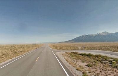
Location. 37° 28.668′ N, 105° 36.129′ W. Marker is near Blanca, Colorado, in Alamosa County. Marker is on State Highway 150, 0.2 miles north of U.S. 160, on the right when traveling north. Marker is at a roadside pulloff. Touch for map. Marker is in this post office area: Alamosa CO 81101, United States of America. Touch for directions.
Other nearby markers. At least 8 other markers are within 13 miles of this marker, measured as the crow
flies. Los Caminos Antiguos (within shouting distance of this marker); Welcome "Caminante" to ... (within shouting distance of this marker); On Sacred Ground (within shouting distance of this marker); "The Magic Dog" (within shouting distance of this marker); Fort Garland / Buffalo Soldiers (approx. 10.1 miles away); Costilla County Veterans Memorial (approx. 10.6 miles away); Pike and Southwest Commerce (approx. 11.1 miles away); Evidence of a Changing World (approx. 12.8 miles away). Touch for a list and map of all markers in Blanca.
Also see . . . Historic Pike Sites in Colorado. Zebulon M. Pike Expedition and Pike National Historic Trail Association website homepage (Submitted on February 20, 2014.)
Credits. This page was last revised on November 24, 2021. It was originally submitted on February 20, 2014, by Duane Hall of Abilene, Texas. This page has been viewed 787 times since then and 25 times this year. Photos: 1. submitted on November 23, 2020, by William Fischer, Jr. of Scranton, Pennsylvania. 2. submitted on February 20, 2014, by Duane Hall of Abilene, Texas. 3. submitted on November 23, 2020, by William Fischer, Jr. of Scranton, Pennsylvania. 4. submitted on February 20, 2014, by Duane Hall of Abilene, Texas. 5. submitted on February 19, 2014, by Duane Hall of Abilene, Texas. 6. submitted on November 15, 2020, by Allen C. Browne of Silver Spring, Maryland.
