Fortuna in Humboldt County, California — The American West (Pacific Coastal)
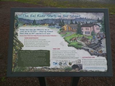
The Eel River Starts on Your Street
Eel River: Linking Human and Coastal Environments
The Eel, California’s third largest river, flows 800 miles before emptying into the Pacific Ocean. Through ongoing monitoring, public and private entities are working to preserve the integrity of this designated “Wild and Scenic River.”
(The balance of the sign is specific to local residents and protecting the river. See photo for text.)
Erected 1995 by The City of Fortuna, The Stormwater Coalition, Natural Resources Services and California Water Boards.
Topics. This historical marker is listed in this topic list: Natural Features.
Location. 40° 34.657′ N, 124° 9.276′ W. Marker is in Fortuna, California, in Humboldt County. Marker is on Riverwalk Drive, 0.6 miles south of Redwood Highway (U.S. 101), on the right when traveling south. The marker is 0.6 south of exit #688 and 0.4 north of exit #687, both exits are for Riverwalk Drive. Touch for map. Marker is at or near this postal address: 1800 Riverwalk Drive, Fortuna CA 95540, United States of America. Touch for directions.
Other nearby markers. At least 8 other markers are within 6 miles of this marker, measured as the crow flies. Fortuna Rodeo Grounds Grandstand (approx. 1.7 miles away); Fernbridge (approx. 3.6 miles away); The First California Central Creamery (approx. 5½ miles away); Ferndale (approx. 5½ miles away); The Shaw House (approx. 5.6 miles away); The House That Troy Built (approx. 5.6 miles away); Centerville Beach Cross (approx. 5.7 miles away); Bank of Loleta (approx. 5.7 miles away). Touch for a list and map of all markers in Fortuna.
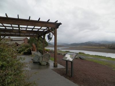
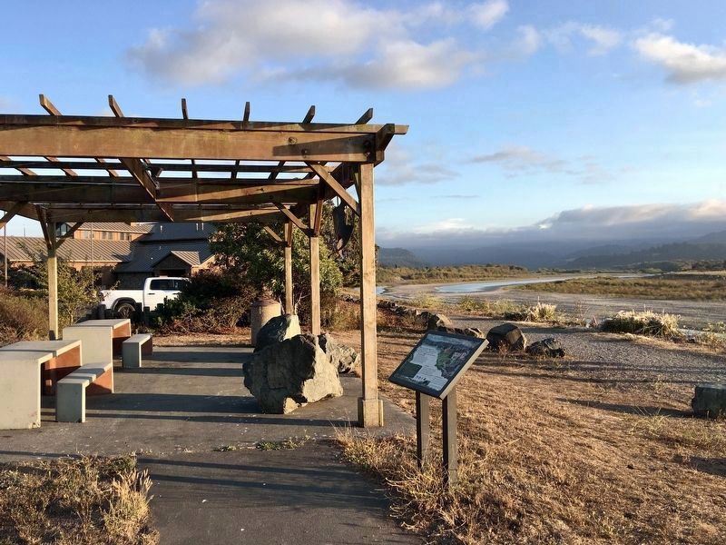
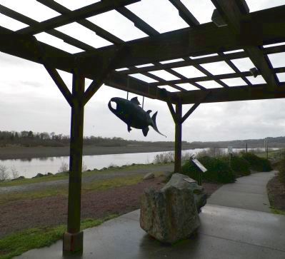
More about this marker. The marker is in a little river overlook area at the north end of the parking lot of the River Lodge Conference Center at 1800 Riverwalk Drive.
Regarding The Eel River Starts on Your Street. The statistics quoted on this sign are instantly suspect as the length cited (800 miles) is longer than the entire state of California. Indeed, the lengths of the entire river and its four major tributaries (North, South and Middle Forks and the Van Duzen River)only add up to 470 miles. Kilometers perhaps? Converting to kilometers we achieve 756 km, a number that is pretty close to the 800 figure.
Also see . . .
1. Friends of the Eel River. Organization website homepage (Submitted on February 25, 2014, by James King of San Miguel, California.)
2. Friends of the Van Duzen River. Organization website homepage (Submitted on February 25, 2014, by James King of San Miguel, California.)
3. The Eel River Watershed Improvement Group. Organization website homepage (Submitted on February 25, 2014, by James King of San Miguel, California.)
4. The Eel River Recovery Project. Website homepage (Submitted on February 25, 2014, by James King of San Miguel, California.)
Credits. This page was last revised on March 13, 2024. It was originally submitted on February 25, 2014, by James King of San Miguel, California. This page has been viewed 642 times since then and 20 times this year. Photos: 1, 2. submitted on February 25, 2014, by James King of San Miguel, California. 3. submitted on September 12, 2021, by Craig Baker of Sylmar, California. 4, 5. submitted on February 25, 2014, by James King of San Miguel, California. • Syd Whittle was the editor who published this page.
