Tenafly in Bergen County, New Jersey — The American Northeast (Mid-Atlantic)
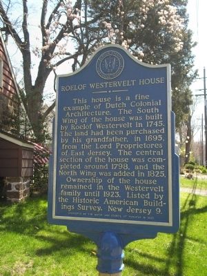
Roelof Westervelt House
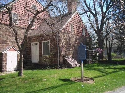
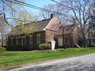
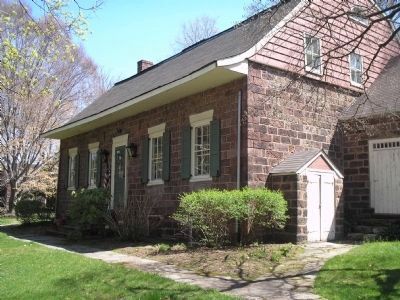
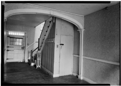
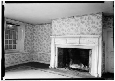
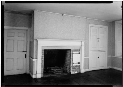
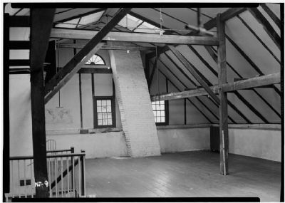
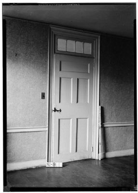
This house is a fine example of Dutch Colonial architecture. The south wing of the house was built by Roelof Westervelt in 1745. The land had been purchased by his grandfather, in 1695, from the Lord Proprietores of East Jersey. The central section of the house was completed around 1798, and the north wing was added in 1825. Ownership of the house remained in the Westervelt family until 1923. Listed by Historic American Buildings Survey, New Jersey 9.
Sponsored by the Mayor and Council of Tenafly in 1965.
Erected 1965 by Bergen County Historical Society. (Marker Number 56.)
Topics and series. This historical marker is listed in these topic lists: Architecture • Colonial Era • War, US Revolutionary. In addition, it is included in the New Jersey, Bergen County Historical Society series list. A significant historical year for this entry is 1745.
Location. 40° 55.265′ N, 73° 58.101′ W. Marker is in Tenafly, New Jersey, in Bergen County. Marker is on Westervelt Ave east of Tenafly Road, on the right when traveling east. Marker is on Westervelt Ave, just east of Tenafly Road. Touch for map. Marker is at or near this postal address: 256 Tenafly Road, Tenafly NJ 07670, United States of America. Touch for directions.
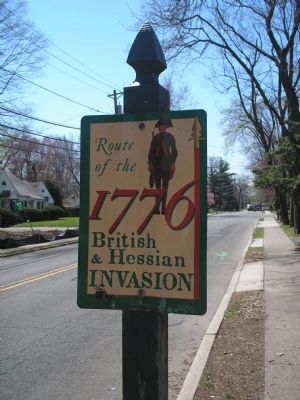
Other nearby markers. At least 8 other markers are within one mile of this marker, measured as the crow flies. British & Hessian Invasion (about 300 feet away, measured in a direct line); The Tenafly Railroad Station (approx. ¼ mile away); Everett-Dunn House (approx. 0.6 miles away); English Neighborhood Union School (approx. 0.6 miles away); The Christie-Parsels House (approx. ¾ mile away); African American Baptist Church Cemetery (approx. one mile away); Old Slave Cemetery (approx. one mile away); Brookside Chapel (approx. one mile away). Touch for a list and map of all markers in Tenafly.
Also see . . .
1. Bergen County Historical Society. Society website homepage (Submitted on April 18, 2008, by Bill Coughlin of Woodland Park, New Jersey.)
2. Historic American Buildings Survey for the Roelof Westervelt House. (Submitted on April 20, 2008, by Kevin W. of Stafford, Virginia.)
Credits. This page was last revised on December 12, 2021. It was originally submitted on April 18, 2008, by Bill Coughlin of Woodland Park, New Jersey. This page has been viewed 2,598 times since then and 62 times this year. Photos: 1, 2, 3, 4. submitted on April 18, 2008, by Bill Coughlin of Woodland Park, New Jersey. 5, 6, 7, 8, 9. submitted on May 8, 2009, by Christopher Busta-Peck of Shaker Heights, Ohio. 10. submitted on April 18, 2008, by Bill Coughlin of Woodland Park, New Jersey. • Kevin W. was the editor who published this page.
