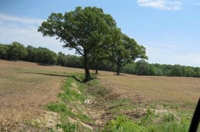
Near Parkers Crossroads in Henderson County, Tennessee — The American South (East South Central)
The Battle of Parker's Crossroads
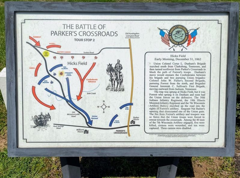
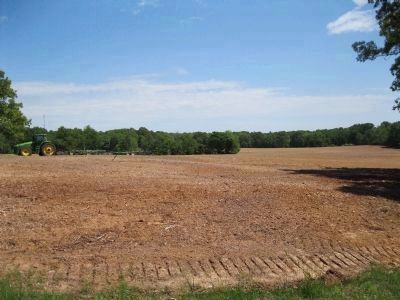
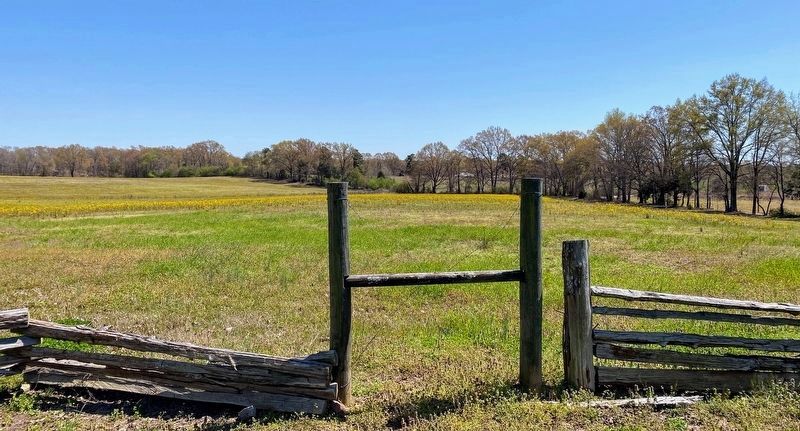
Tour Stop 2 - Hicks Field
— Early Morning, December 31, 1862 —
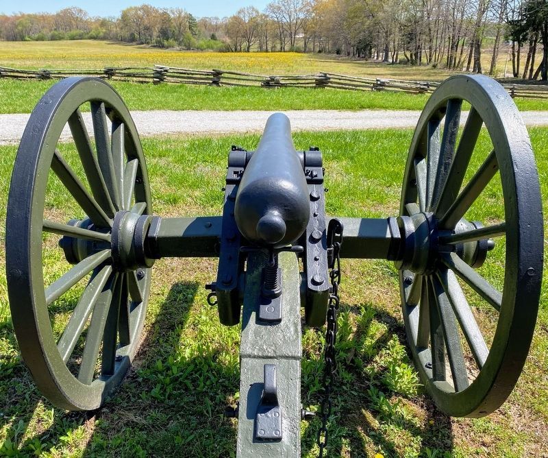
The trap was sprung at Hicks Field, but it was Forrest who sprang it on Dunham and soon had the Union forces on the defensive. The 50th Indiana Infantry Regiment, the 18th Illinois Mounted Infantry Regiment and the 7th Wisconsin Artillery Battery marched up the road into the sights of Forrest's artillery. Sergeant Nat Baxter's opening shot dismounted one of the Union guns. The fire from Forrest's artillery and troopers was so fierce that the Union troops were forced to retreat towards the crossroads. Among the 40 men of the 7th Wisconsin engaged, five were killed, sixteen were wounded, and ten were captured. Three cannon were disabled.
Map (Left Side): Battle Action at Hicks Field
Erected by Parkers Crossroads Battlefield Association.
Topics. This historical marker is listed in this topic list: War, US Civil.
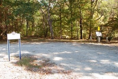
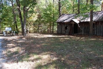
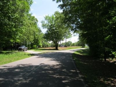
Location. 35° 48.483′ N, 88° 24.432′ W. Marker is near Parkers Crossroads, Tennessee, in Henderson County. Marker is on Cecil Walls Road, 1.2 miles north of Rock Springs Road, on the right when traveling north. Marker is at a pulloff beside the road next to an old abandoned house (in 2012). Touch for map. Marker is in this post office area: Yuma TN 38390, United States of America. Touch for directions.
Other nearby markers. At least 8 other markers are within 2 miles of this marker, measured as the crow flies. Pleasant Exchange (approx. one mile away); Parker's Crossroads City Park (approx. 1.2 miles away); Parker's Crossroads (approx. 1.2 miles away); Freeman's Battery (approx. 1.2 miles away); a different marker also named The Battle of Parker's Crossroads (approx. 1.2 miles away); a different marker also named The Battle of Parker's Crossroads (approx. 1.2 miles away); The Tides of War (approx. 1.2 miles away); Morton's Battery (approx. 1.2 miles away). Touch for a list and map of all markers in Parkers Crossroads.
Credits. This page was last revised on June 2, 2021. It was originally submitted on December 29, 2012, by David Graff of Halifax, Nova Scotia. This page has been viewed 628 times since then and 16 times this year. Last updated on March 10, 2014, by David Graff of Halifax, Nova Scotia. Photos: 1. submitted on May 28, 2021, by Shane Oliver of Richmond, Virginia. 2. submitted on December 29, 2012, by David Graff of Halifax, Nova Scotia. 3, 4. submitted on August 22, 2015, by Brandon Fletcher of Chattanooga, Tennessee. 5, 6. submitted on December 29, 2012, by David Graff of Halifax, Nova Scotia. 7, 8. submitted on May 28, 2021, by Shane Oliver of Richmond, Virginia. 9. submitted on March 18, 2014, by David Graff of Halifax, Nova Scotia. • Bill Pfingsten was the editor who published this page.
