Lincoln City in Spencer County, Indiana — The American Midwest (Great Lakes)
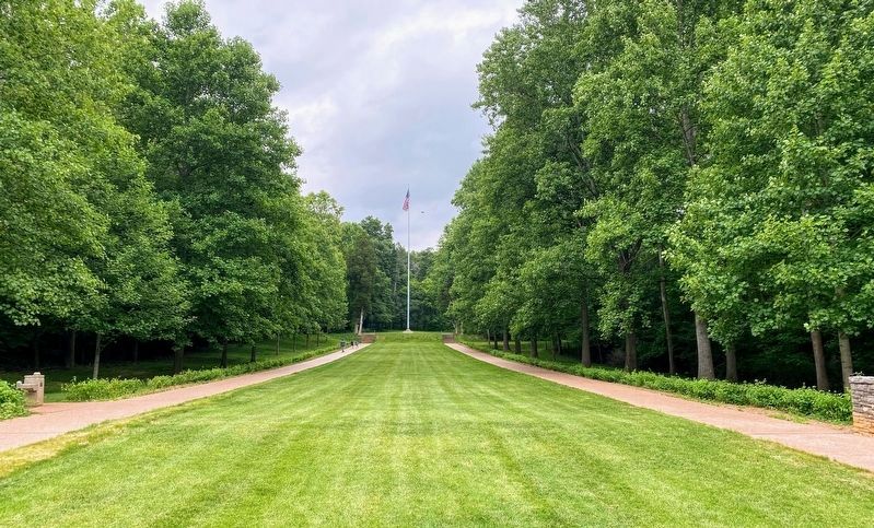
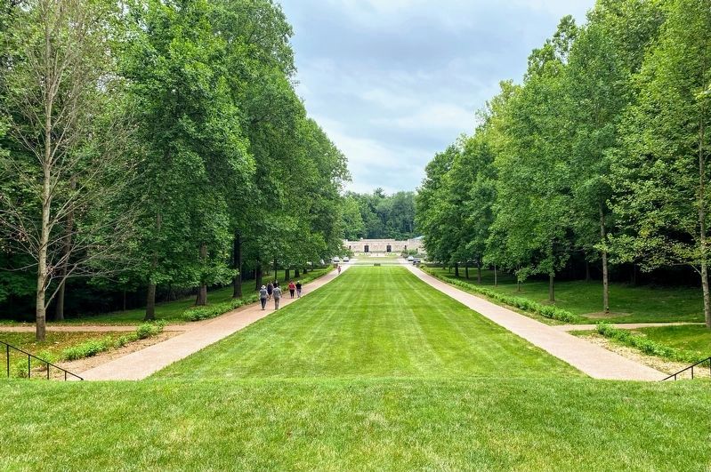
The Allee
Lincoln Boyhood National Memorial
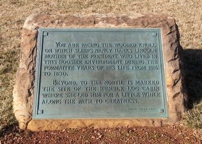
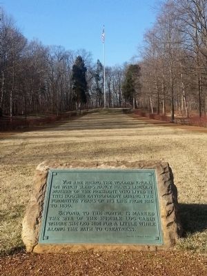
You are facing the wooded knoll on which sleeps Nancy Hanks Lincoln mother of the President who lived in this Hoosier environment during the formative years of his life from 1816 to 1830.
Beyond, to the north, is marked the site of the humble log cabin where she led him for a little while along the path to greatness.
Topics. This historical marker is listed in these topic lists: Cemeteries & Burial Sites • Settlements & Settlers. A significant historical year for this entry is 1816.
Location. 38° 6.826′ N, 86° 59.753′ W. Marker is in Lincoln City, Indiana, in Spencer County. Marker is on East South Street east of Road 300 E, on the left when traveling east. Touch for map. Marker is at or near this postal address: 3027 East South Street, Lincoln City IN 47552, United States of America. Touch for directions.
Other nearby markers. At least 8 other markers are within walking distance of this marker. Lincoln Boyhood National Memorial (within shouting distance of this marker); Nancy Hanks Lincoln Grave (about 700 feet away, measured in a direct line); Abraham Lincoln Bicentennial Plaza (approx. 0.3 miles away); Now he belongs to the ages (approx. 0.3 miles away); Thomas Lincoln Farm (approx. 0.4 miles away); Crop Fields (approx. 0.4 miles away); Cabin Site Memorial (approx. 0.4 miles away); Log Cabin (approx. 0.4 miles away). Touch for a list and map of all markers in Lincoln City.
Also see . . . Lincoln Boyhood National Memorial. National Park Service (Submitted on March 16, 2014.)
Credits. This page was last revised on July 31, 2021. It was originally submitted on March 16, 2014, by Bernard Fisher of Richmond, Virginia. This page has been viewed 426 times since then and 17 times this year. Photos: 1, 2. submitted on March 16, 2014, by Bernard Fisher of Richmond, Virginia. 3, 4. submitted on July 29, 2021, by Shane Oliver of Richmond, Virginia.


