East Falls Church in Arlington in Arlington County, Virginia — The American South (Mid-Atlantic)
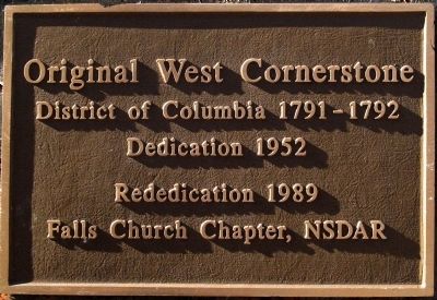
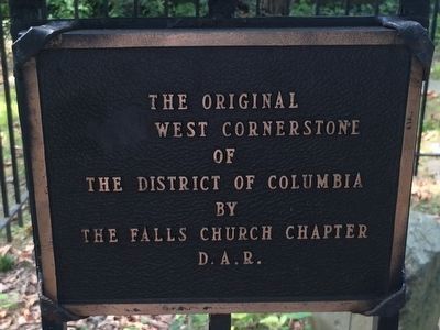
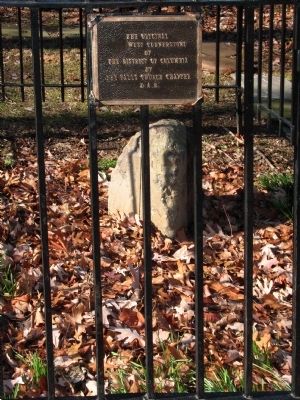
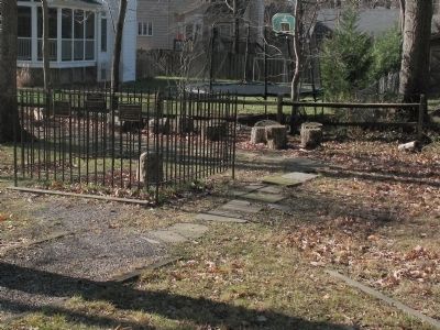
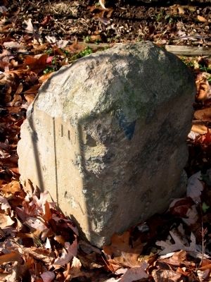
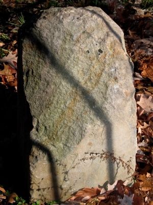
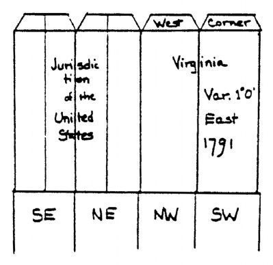
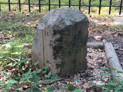
Original Federal Boundary Stone, District of Columbia, West Cornerstone
District of Columbia 1791 - 1792
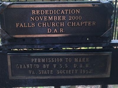
Dedication 1952
Rededication 1989
Falls Church Chapter, NSDAR
Erected 1989 by Falls Church Chapter, NSDAR.
Topics and series. This historical marker is listed in this topic list: Man-Made Features. In addition, it is included in the Daughters of the American Revolution, and the Original Federal Boundary Stones series lists. A significant historical year for this entry is 1791.
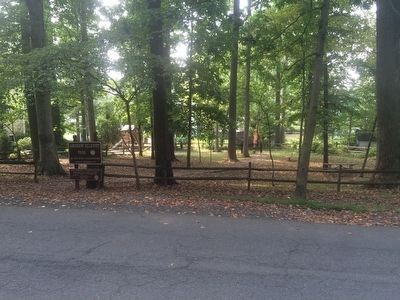
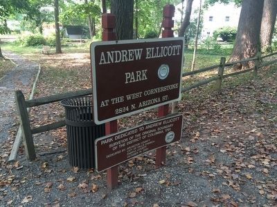
Location. 38° 53.599′ N, 77° 10.338′ W. Marker is in Arlington, Virginia, in Arlington County. It is in East Falls Church. Marker is on North Arizona Street when traveling north. Marker is in Andrew Ellicott Park. Touch for map. Marker is at or near this postal address: 2824 North Arizona Street, Arlington VA 22213, United States of America. Touch for directions.
Other nearby markers. At least 8 other markers are within walking distance of this marker. DePutron House (approx. 0.2 miles away); WWI Memorial (approx. half a mile away); Falls Church Area Veterans Honor Roll (approx. half a mile away); War in Afghanistan Memorial (approx. half a mile away); City of Falls Church Veterans Memorial (approx. half a mile away); Iraq War Memorial (approx. half a mile away); Living in Fear (approx. half a mile away); George Mason (approx. half a mile away).
Regarding Original Federal Boundary Stone, District of Columbia, West Cornerstone. This stone marks the west corner of the original "ten mile square" of the District of Columbia. Alexandria County was carved out of Fairfax County to become part of the District in 1791 and was retroceded to Virginia in 1847, leaving the District with 69 square miles of its original 100.
Related markers. Click here for a list of markers that are related to this marker. The other 3 corner boundary stones.
Also see . . .
1. Boundary Stones of the District of Columbia. (Submitted on April 11, 2014, by Allen C. Browne of Silver Spring, Maryland.)
2. Marking the Original Boundary of the District of Columbia. DAR Boundary Stones Committee, website. (Submitted on April 11, 2014, by Allen C. Browne of Silver Spring, Maryland.)
Credits. This page was last revised on February 1, 2023. It was originally submitted on April 10, 2014, by Allen C. Browne of Silver Spring, Maryland. This page has been viewed 809 times since then and 45 times this year. Last updated on August 15, 2020, by Roberto Bernate of Arlington, Virginia. Photos: 1. submitted on April 10, 2014, by Allen C. Browne of Silver Spring, Maryland. 2, 3. submitted on September 3, 2015, by J. Makali Bruton of Accra, Ghana. 4, 5, 6, 7, 8. submitted on April 10, 2014, by Allen C. Browne of Silver Spring, Maryland. 9, 10, 11. submitted on September 3, 2015, by J. Makali Bruton of Accra, Ghana. • Devry Becker Jones was the editor who published this page.
