South of Broad in Charleston in Charleston County, South Carolina — The American South (South Atlantic)
The Landscape of the Enslaved
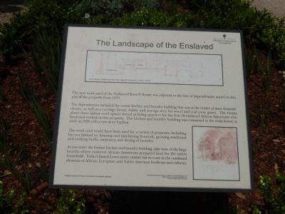
The rear work yard of the Nathaniel Russell House was adjacent to the line of dependencies noted on this plat of the property from 1870.
The dependencies included the extant kitchen and laundry buildings that was at the center of most domestic chores, as well as a carriage house, stable, and storage area for wood and coal (now gone). The rooms above these indoor work spaces served as living quarters for the 8 to 18 enslaved African Americans who lived and worked on the property. The kitchen and laundry building was connected to the main house as early as 1820 with a one story hyphen.
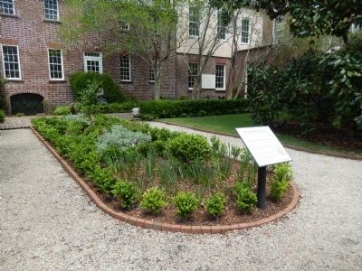
The work yard would have been used for a variety of purposes, including but not limited to housing and butchering livestock, growing medicinal and cooking herbs, carpentry and drying of laundry.
As you enter the former kitchen and laundry building, take note of the large hearths where enslaved African Americans prepared food for the entire household. Today's famed Lowcountry cuisine has its roots in the combined elements of African, European, and Native American foodways and cultures.
Erected by Historic Charleston Foundation.
Topics. This historical marker is listed in this topic list: African Americans. A significant historical year for this entry is 1870.
Location. 32° 46.432′ N, 79° 55.867′ W. Marker is in Charleston, South Carolina, in Charleston County. It is in South of Broad. Marker is on Meeting Street. Touch for map. Marker is at or near this postal address: 51 Meeting Street, Charleston SC 29401, United States of America. Touch for directions.
Other nearby markers. At least 8 other markers are within walking distance of this marker. Black and White Worlds: (a few steps from this marker); The Site of Colleton Bastion (within shouting distance of this marker); Nathaniel Russell House (within shouting distance of this marker); Timothy Ford's House (within shouting distance of this marker); The First Presbyterian Church of Charleston (within shouting distance of this marker); William Harvey House (about 300 feet away, measured in a direct line); Old St. Michael’s Rectory (about 300 feet away); Judge Robert Pringle House (about 300 feet away). Touch for a list and map of all markers in Charleston.
Also see . . . Nathaniel Russell House Museum - Wikipedia. (Submitted on April 23, 2014, by Bill Pfingsten of Bel Air, Maryland.)
Credits. This page was last revised on February 16, 2023. It was originally submitted on April 23, 2014, by Bill Pfingsten of Bel Air, Maryland. This page has been viewed 538 times since then and 18 times this year. Photos: 1, 2. submitted on April 23, 2014, by Bill Pfingsten of Bel Air, Maryland.

