Catlettsburg in Boyd County, Kentucky — The American South (East South Central)
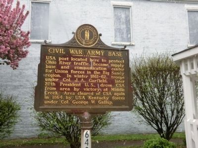
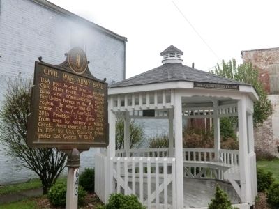
Civil War Army Base
Erected 1964 by Kentucky Historical Society-Kentucky Department of Highways. (Marker Number 643.)
Topics and series. This historical marker is listed in this topic list: War, US Civil. In addition, it is included in the Kentucky Historical Society series list. A significant historical year for this entry is 1864.
Location. 38° 25.02′ N, 82° 35.851′ W. Marker is in Catlettsburg, Kentucky, in Boyd County. Marker is at the intersection of Louisa Street and 26th Street, on the right when traveling north on Louisa Street. Touch for map. Marker is in this post office area: Catlettsburg KY 41129, United States of America. Touch for directions.
Other nearby markers. At least 8 other markers are within walking distance of this marker. Chesapeake & Ohio Passenger Station (about 500 feet away, measured in a direct line); Judge John M. Elliott (about 500 feet away); Country Music Highway (about 500 feet away); Mary Elliott Flanery (about 600 feet away); County Named, 1860 (about 700 feet away); William Davidson (approx. half a mile away in Ohio); Dreamland Pool (approx. one mile away in West Virginia); West Virginia (Wayne County) / Kentucky (approx. one mile away in West Virginia). Touch for a list and map of all markers in Catlettsburg.
Credits. This page was last revised on June 16, 2016. It was originally submitted on May 16, 2014, by Don Morfe of Baltimore, Maryland. This page has been viewed 844 times since then and 28 times this year. Photos: 1, 2. submitted on May 16, 2014, by Don Morfe of Baltimore, Maryland. • Bernard Fisher was the editor who published this page.

