Orleans in Orange County, Indiana — The American Midwest (Great Lakes)
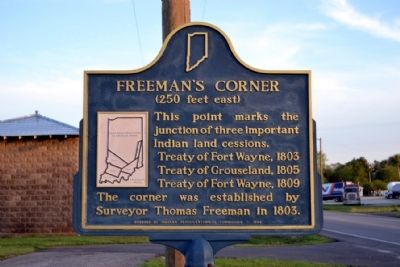
Freeman's Corner
(250 feet east)
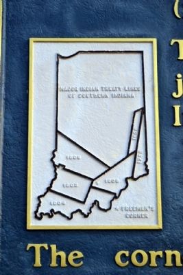
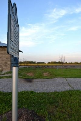
This point marks the junction of three important Indian land cessions.
Treaty of Fort Wayne, 1803
Treaty of Grouseland, 1805
Treaty of Fort Wayne, 1809
The corner was established by Surveyor Thomas Freeman in 1803.
Erected 1966 by Indiana Sesquicentennial Commission. (Marker Number 59.1966.1.)
Topics and series. This historical marker is listed in these topic lists: Native Americans • Settlements & Settlers. In addition, it is included in the Indiana Historical Bureau Markers series list. A significant historical year for this entry is 1803.
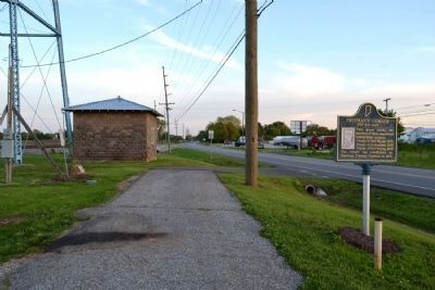
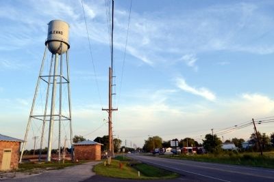
Location. 38° 40.589′ N, 86° 27.188′ W. Marker is in Orleans, Indiana, in Orange County. Marker is on N. Main Street (State Road 37) north of County Road 810N, on the right when traveling north. Marker is located near the Orleans water tower. Touch for map. Marker is in this post office area: Orleans IN 47452, United States of America. Touch for directions.
Other nearby markers. At least 8 other markers are within 4 miles of this marker, measured as the crow flies. Freeman Corner (a few steps from this marker); Orleans Public Library (approx. 0.9 miles away); Veterans Memorial (approx. one mile away); Orleans War Memorial (approx. one mile away); Orleans School Bell (approx. one mile away); Orleans Congress Square (approx. one mile away); Astronaut Virgil I. (Gus) Grissom Boyhood Home (approx. 3.8 miles away); Space Age Sweetgum Tree (approx. 3.9 miles away). Touch for a list and map of all markers in Orleans.
Also see . . .
1. Treaty of Fort Wayne (1803) - Wikipedia entry. (Submitted on May 31, 2014.)
2. Treaty of Grouseland - Wikipedia entry. (Submitted on May 31, 2014.)
3. Treaty of Fort Wayne (1809) - Wikipedia entry. (Submitted on May 31, 2014.)
Additional commentary.
1. Location of Freeman's Corner
The nearby 1935 marker erected by the Daughters of the American Revolution indicates a different location for the survey corner. The D.A.R. marker states the corner is 839 feet north and 48 feet east.
— Submitted May 31, 2014, by Duane Hall of Abilene, Texas.
Credits. This page was last revised on June 16, 2016. It was originally submitted on May 31, 2014, by Duane Hall of Abilene, Texas. This page has been viewed 635 times since then and 34 times this year. Photos: 1, 2, 3, 4, 5, 6. submitted on May 31, 2014, by Duane Hall of Abilene, Texas.
