Marker Logo HMdb.org THE HISTORICAL
MARKER DATABASE
“Bite-Size Bits of Local, National, and Global History”
Bellows Falls in Windham County, Vermont — The American Northeast (New England)
 

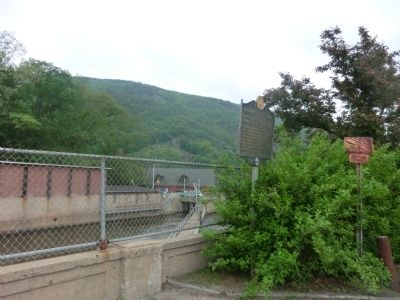
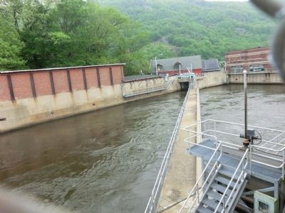
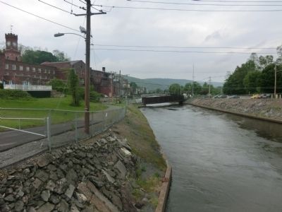
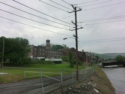
Bellows Falls Canal

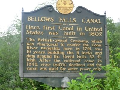
Here first Canal in United States was built in 1802


Bellows Falls Canal Marker image. Click for full size.
Photographed By Don Morfe, May 23, 2013
1. Bellows Falls Canal Marker
Inscription. The British-owned Company, which was chartered to render the Conn. River navigable here in 1791, was 10 years building the 9 locks and dam around the Great Falls, 52 ft. high. After the railroad came in 1849, river traffic declined and the canal was used for water power only.
 
Erected by Vermont Historic Sites Commission.
 
Topics. This historical marker is listed in this topic list: Bridges & Viaducts. A significant historical year for this entry is 1791.
 
Location. 43° 8.028′ N, 72° 26.562′ W. Marker is in Bellows Falls, Vermont, in Windham County. Marker is on Bridge Street. Touch for map. Marker is in this post office area: Bellows Falls VT 05101, United States of America. Touch for directions.
 
Other nearby markers. At least 8 other markers are within 5 miles of this marker, measured as the crow flies. Hotel Windham / Andrews Inn (about 300 feet away, measured in a direct line); Waypoint Center (approx. 0.2 miles away); Bellows Falls (approx. 0.2 miles away); First Connecticut River Bridge (approx. half a mile away in New Hampshire); John Kilburn Cabin (approx. 1˝ miles away in New Hampshire); Rev. John Williams (approx. 3.2 miles away); Rockingham Meetinghouse (approx. 4.3 miles away); The Westminster Massacre (approx. 4.3 miles away). Touch for a list and map of all markers in Bellows Falls.
 
Paid Advertisement
Click on the ad for more information.
Please report objectionable advertising to the Editor.
Click or scan to see
this page online
Bellows Falls Canal Marker image. Click for full size.
Photographed By Don Morfe, May 23, 2013
2. Bellows Falls Canal Marker
Bellows Falls Canal Marker image. Click for full size.
Photographed By Don Morfe, May 23, 2013
3. Bellows Falls Canal Marker
Bellows Falls Canal Marker image. Click for full size.
Photographed By Don Morfe, May 23, 2013
4. Bellows Falls Canal Marker
Bellows Falls Canal Marker image. Click for full size.
Photographed By Don Morfe, May 23, 2013
5. Bellows Falls Canal Marker
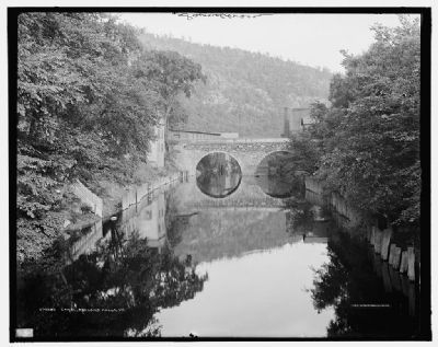
<i>Canal, Bellows Falls, Vt. </i> image. Click for full size.
Photographed By Detroit Publishing Company, 1907
6. Canal, Bellows Falls, Vt.
Looking south. Image courtesy of the Library of Congress.
 
 
Credits. This page was last revised on February 16, 2023. It was originally submitted on June 8, 2013, by Don Morfe of Baltimore, Maryland. This page has been viewed 779 times since then and 17 times this year. Last updated on June 16, 2014, by Kevin Craft of Bedford, Quebec. Photos:   1, 2, 3, 4, 5. submitted on June 8, 2013, by Don Morfe of Baltimore, Maryland.   6. submitted on June 12, 2013. • Bill Pfingsten was the editor who published this page.
Share this page.  
Share on Tumblr
m=74471

CeraNet Cloud Computing sponsors the Historical Marker Database.
This website earns income from purchases you make after using our links to Amazon.com. We appreciate your support.
Paid Advertisement
Apr. 23, 2024