Isle La Motte in Grand Isle County, Vermont — The American Northeast (New England)
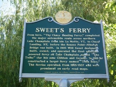
Sweet's Ferry
From here, "The Chazy Landing Ferry," completed the major automobile route across northern Lake Champlain from Isle La Motte, VT, to Chazy Landing, NY, before the Rouses Point-Alburgh bridge was built. In 1905 Will Sweet designed, built, owned, and operated the first gasoline powered ferry on Lake Champlain named "The Twins" (for his sons Clinton and Gerald). In 1916 he constructed a larger ferry named "Twin Boys." The ferries operated from 1905-1937 and were prominent on early road maps.
Erected 2008 by Vermont Division for Historic Preservation.
Topics. This historical marker is listed in these topic lists: Bridges & Viaducts • Industry & Commerce • Waterways & Vessels. A significant historical year for this entry is 1905.
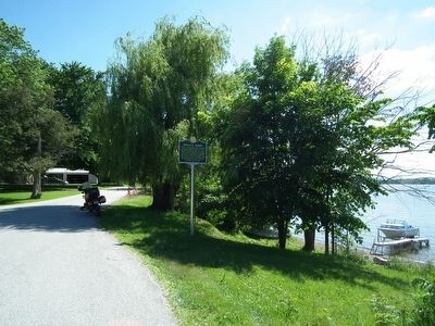
Location. 44° 53.034′ N, 73° 21.25′ W. Marker is in Isle La Motte, Vermont, in Grand Isle County. Marker is at the intersection of West Shore Road and School Street, on the right when traveling south on West Shore Road. Touch for map. Marker is in this post office area: Isle La Motte VT 05463, United States of America. Touch for directions.
Other nearby markers. At least 8 other markers are within 3 miles of this marker, measured as the crow flies. A Place Of Pilgrimage (approx. 1.2 miles away); Site of French Fort Ste. Anne (approx. 1.2 miles away); Matthew Sax (approx. 1.2 miles away in New York); Samuel de Champlain Monument (approx. 1.2 miles away); Sept. 11, 1814 (approx. 1.2 miles away in New York); 1805 Log Home (approx. 2 miles away in New York); Near This Spot (approx. 2.3 miles away in New York); Homestead Site of Jean LaFramboise (approx. 2˝ miles away in New York). Touch for a list and map of all markers in Isle La Motte.
Credits. This page was last revised on June 16, 2016. It was originally submitted on June 23, 2014, by Kevin Craft of Bedford, Quebec. This page has been viewed 744 times since then and 37 times this year. Photos: 1, 2. submitted on June 23, 2014, by Kevin Craft of Bedford, Quebec. • Bill Pfingsten was the editor who published this page.

