Near Winchester in Clark County, Kentucky — The American South (East South Central)
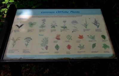
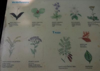
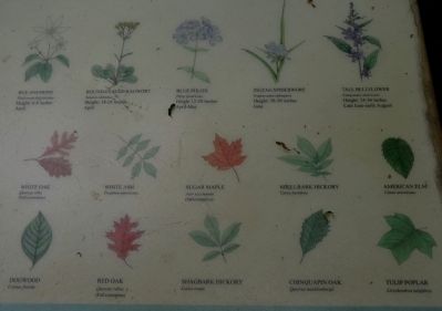
Common Cliffside Plants
Erected by The Winchester/Clark County Tourism Commission.
Topics. This historical marker is listed in this topic list: Horticulture & Forestry. A significant historical year for this entry is 1862.
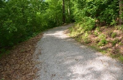
Location. 37° 53.391′ N, 84° 15.585′ W. Marker is near Winchester, Kentucky, in Clark County. Marker can be reached from Ford Road/4 Mile Road (Kentucky Route 1924) 1.2 miles south of Boonesboro Road (Kentucky Route 627), on the left when traveling south. The exhibit can be reached from the parking area on KY 1924. The trailhead is at the edge of the parking area here. This wayside exhibit can be found partway up the trail that leads to the fort at the top of the hill. Touch for map. Marker is at or near this postal address: 1250 Ford Road, Winchester KY 40391, United States of America. Touch for directions.
Other nearby markers. At least 8 other markers are within walking distance of this marker. Rock and Man (a few steps from this marker); The Eye of the Rich Land (within shouting distance of this marker); The Quest for Land (within shouting distance of this marker); Thomas B. Brooks, Army Engineer (within shouting distance of this marker); A Defensive Strategy (within shouting distance of this marker); An Unrealized Plan (within shouting distance of this marker); A Long, Steep Road (within shouting distance of this marker); Roads in the Wilderness (within shouting distance of this marker). Touch for a list and map of all markers in Winchester.
More about this marker. This marker is part of the historic site known as the "Civil War Fort at Boonesboro." CAUTION: The climb up the hill is VERY steep.
Also see . . . Civil War Fort at Boonesboro. (Submitted on June 26, 2014, by Karl Stelly of Gettysburg, Pennsylvania.)
Credits. This page was last revised on June 16, 2016. It was originally submitted on June 25, 2014, by Karl Stelly of Gettysburg, Pennsylvania. This page has been viewed 560 times since then and 27 times this year. Photos: 1, 2, 3, 4. submitted on June 25, 2014, by Karl Stelly of Gettysburg, Pennsylvania. • Bill Pfingsten was the editor who published this page.


