Ephraim in Sanpete County, Utah — The American Mountains (Southwest)
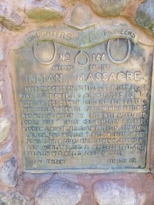
Indian Massacre
Erected 1949 by Ephraim Camp, Daughters of Utah Pioneers. (Marker Number 144.)
Topics and series. This historical marker is listed in this topic list: Wars, US Indian. In addition, it is included in the Daughters of Utah Pioneers series list. A significant historical date for this entry is April 12, 1925.
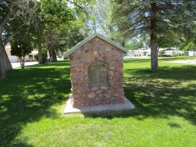
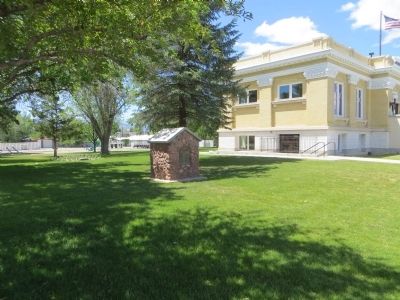
Location. 39° 21.538′ N, 111° 35.248′ W. Marker is in Ephraim, Utah, in Sanpete County. Marker is at the intersection of South Main Street and 50 South Street, on the right when traveling south on South Main Street. Touch for map. Marker is in this post office area: Ephraim UT 84627, United States of America. Touch for directions.
Other nearby markers. At least 8 other markers are within walking distance of this marker. Ephraim Carnegie Library (within shouting distance of this marker); Canute Peterson House (about 400 feet away, measured in a direct line); Ephraim Relief Society Granary (approx. 0.2 miles away); Fort Ephraim Peace Treaty (approx. 0.2 miles away); Hansen-Sparks Home (approx. 0.2 miles away); Ephraim Co-op Building (approx. 0.2 miles away); The Old Fort (approx. 0.2 miles away); John Dorius, Jr., House and Barn (approx. 0.2 miles away). Touch for a list and map of all markers in Ephraim.
Credits. This page was last revised on June 16, 2016. It was originally submitted on June 30, 2014, by Bill Kirchner of Tucson, Arizona. This page has been viewed 846 times since then and 67 times this year. Photos: 1, 2, 3. submitted on June 30, 2014, by Bill Kirchner of Tucson, Arizona. • Syd Whittle was the editor who published this page.


