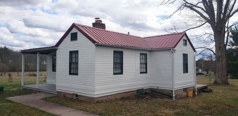
Arthurdale in Preston County, West Virginia — The American South (Appalachia)
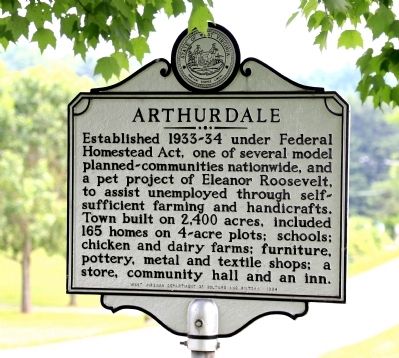
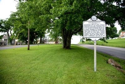
Arthurdale
Erected 1984 by West Virginia Department of Culture and History.
Topics and series. This historical marker is listed in these topic lists: Charity & Public Work • Settlements & Settlers • Women. In addition, it is included in the Eleanor Roosevelt, and the West Virginia Archives and History series lists. A significant historical year for this entry is 1933.
Location. 39° 29.665′ N, 79° 48.923′ W. Marker is in Arthurdale, West Virginia, in Preston County. Marker is at the intersection of North Mountaineer Highway (West Virginia Route 92) and D Road 16, on the right when traveling south on North Mountaineer Highway. Touch for map. Marker is at or near this postal address: 13272 N Mountaineer Hwy, Arthurdale WV 26520, United States of America. Touch for directions.
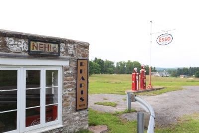
Other nearby markers. At least 8 other markers are within walking distance of this marker. History of the Houses (within shouting distance of this marker); Honor Roll (within shouting distance of this marker); The Community Center (within shouting distance of this marker); Community At Arthurdale (within shouting distance of this marker); The Great Hall (within shouting distance of this marker); Administration Building (about 300 feet away, measured in a direct line); The Forge (about 300 feet away); Service Station (about 400 feet away). Touch for a list and map of all markers in Arthurdale.
Regarding Arthurdale. Museum and craft shop is open May to October Tuesday through Sunday, and Tuesday through Friday the other months. Check their website for hours and information on special events.
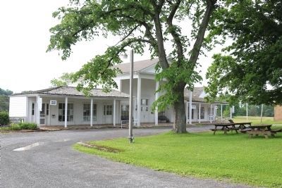
Also see . . . Arthurdale’s History. Arthurdale Heritage, Inc.’s website. Excerpt: “The Reedsville Project, later named Arthurdale after Richard Arthur, from whom the land was purchased, was begun in 1934 as a homestead community. Land was purchased, residents were selected, homes were constructed, more residents were selected, more homes constructed… until there were 165 homes and several community buildings including a school complex, built on approximately 1200 acres in rural Preston County, WV. Today, most of the community buildings still stand and most are part of the New Deal Homestead Museum. Many of the new residents were displaced miners from the Scott’s Run area near Morgantown, WV, but some moved here from other areas of Preston County and WV. Some of the homes housed the government employees who were assigned jobs here such as teachers, physicians, surveyors, engineers, secretaries, etc.” (Submitted on July 6, 2014.)
Credits. This page was last revised on March 29, 2021. It was originally submitted on July 6, 2014, by J. J. Prats of Powell, Ohio. This page has been viewed 583 times since then and 21 times this year. Last updated on March 29, 2021, by Bradley Owen of Morgantown, West Virginia. Photos: 1, 2, 3, 4. submitted on July 6, 2014, by J. J. Prats of Powell, Ohio. 5. submitted on March 26, 2021, by Bradley Owen of Morgantown, West Virginia. • Devry Becker Jones was the editor who published this page.
