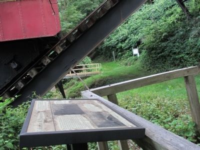
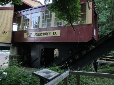
Johnstown in Cambria County, Pennsylvania — The American Northeast (Mid-Atlantic)
Calamity and Prosperity
Inscription.
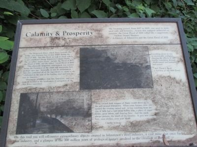
The booming period, from 1867 to 1889, was used to make steel rails and fortunes...Across this rampant industrial expansion, the Great Flood of 1889 rolled like a juggernaught.
- Nathaniel Daniel Shappee. A History of Johnstown and the Great Flood of 1889.
The Stoneycreek River, which flows beneath this bridge, rose fourteen feet in four hours during the flood of 1861. But that flood, as well as many others, is not considered among Johnstown's major floods. The so-called "major floods" include the flood of 1977, the flood of 1936, and the fabled "Great Flood of 1889."
This physically dangerous environment was created during the formation of the rivers and mountains here geologic ages ago. Ironically, it was an environment that also contained all of the ingredients to create a city "celebrated as the seat of the leading steel and iron factory in America..."
Mountains of timber, iron ore, limestone, and coal were all located at the headwaters of navigation of the Ohio River watershed.
Everything about us was in inextricable confusion, showing the effects of the terrific convulsion through which nature and humanity has passed.
Rev David J. Beale, A Survivor of the 1889 Flood.
Along toward dusk tongues of flame would shoot up in the pall around Johnstown. When some furnace door was opened the evening turned red. A boy watching from the rim of hills had a vast arena before him, a place of vague forms, great labors, and dancing fires. And the murk always present, the smell of the foundry. It gets into your hair, your clothes, even your blood.
Charlie Schwab.
On this trail you will encounter extraordinary objects created in Johnstown's steel industry, a coal mine that once fueled that industry, and a glimpse of the 300 million years of geological history invovled in the creation of coal.
Topics. This historical marker is listed in these topic lists: Disasters • Environment • Industry & Commerce. A significant historical year for this entry is 1889.
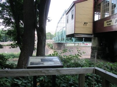
Location. 40° 19.557′ N, 78° 55.565′ W. Marker is in Johnstown, Pennsylvania, in Cambria County. Marker can be reached from Johns Street. Marker is located on a trail accessed from the lower station of the Johnstown Inclined Plane, immediately north of the track. Touch for map. Marker is in this post office area: Johnstown PA 15905, United States of America. Touch for directions.
Other nearby markers. At least 8 other markers are within walking distance of this marker. Rolling Mill Mine Disaster (about 400 feet away, measured in a direct line); Main Street and Point Stadium Ramp (about 500 feet away); The Johnstown Flood (about 700 feet away); Johnstown Incline (about 800 feet away); Johns Street Bridge
(approx. ¼ mile away); Westmont Historic District (approx. ¼ mile away); a different marker also named Johnstown Flood (approx. 0.3 miles away); Johnstown Local Flood Protection Project (approx. 0.3 miles away). Touch for a list and map of all markers in Johnstown.
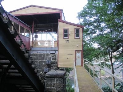
More about this marker. The marker may actually be in the Borough of Westmont because the the borough border juts down the mountainside to include the entire Johnstown Inclined Plane, but not the bridge to the lower station. There is a small free public parking area in Johnstown next to the wide pedestrian bridge to the lower Inclined Plane station. Refer to the pictures on this panel to reach the marker.
Also see . . .
1. Johnstown Inclined Plane. (Submitted on September 5, 2014, by Anton Schwarzmueller of Wilson, New York.)
2. Johnstown Flood - Wikipedia. (Submitted on September 5, 2014, by Anton Schwarzmueller of Wilson, New York.)
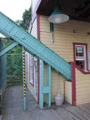
Photographed By Anton Schwarzmueller, August 22, 2014
3. Access to the Calamity and Prosperity Marker/Trail
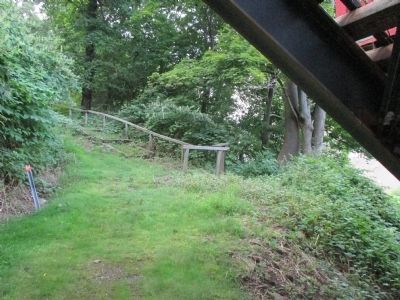
Reaching the marker is fun. Upon crossing the pedestrian/bike bridge to the lower Inclied Plane station/dock, look to the left (south) and you will see this passge with a caution-striped pole centered at the beginning. Walk this way and open the door at the end.
Credits. This page was last revised on June 16, 2016. It was originally submitted on September 5, 2014, by Anton Schwarzmueller of Wilson, New York. This page has been viewed 520 times since then and 22 times this year. Photos: 1, 2, 3, 4, 5, 6, 7. submitted on September 5, 2014, by Anton Schwarzmueller of Wilson, New York. • Bill Pfingsten was the editor who published this page.
