Near Merkel in Taylor County, Texas — The American South (West South Central)
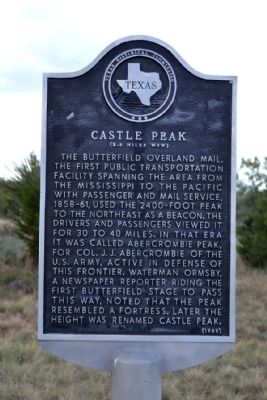
Castle Peak
(2.6 Miles WSW)
Erected 1968 by Texas Historical Commission. (Marker Number 756.)
Topics and series. This historical marker is listed in these topic lists: Communications • Roads & Vehicles. In addition, it is included in the Butterfield Overland Mail series list.
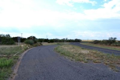
Location. 32° 23.838′ N, 99° 58.296′ W. Marker is near Merkel, Texas, in Taylor County. Marker is on Farm to Market Road 1235 south of County Road 302, on the right when traveling south. Touch for map. Marker is in this post office area: Merkel TX 79536, United States of America. Touch for directions.
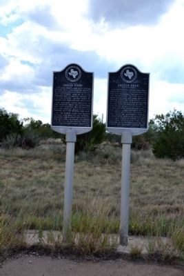
Other nearby markers. At least 8 other markers are within 8 miles of this marker, measured as the crow flies. Vicinity of Indian Fight (here, next to this marker); Mulberry Canyon (approx. 5.7 miles away); Cornelia Clark Fort (approx. 5.7 miles away); Drummond Cemetery (approx. 6 miles away); Camp Barkeley (approx. 6.7 miles away); Butterfield Trail (approx. 6.8 miles away); Butterfield Mail and Stage Line (approx. 6.8 miles away); Mountain Pass Station (approx. 7.1 miles away). Touch for a list and map of all markers in Merkel.
Also see . . .
1. Butterfield Overland Mail - Wikipedia entry. (Submitted on October 6, 2014.)
2. Butterfield Overland Mail. From the Texas State Historical Association’s “Handbook of Texas Online”. (Submitted on October 6, 2014.)
Additional commentary.
1. View of Castle Peak
A view of Castle Peak from the marker location is obscured by terrain and vegetation. Castle Peak may be seen from County Road 283 less than a 1/4 mile west of the marker.
— Submitted October 6, 2014, by Duane Hall of Abilene, Texas.
Credits. This page was last revised on June 16, 2016. It was originally submitted on October 6, 2014, by Duane Hall of Abilene, Texas. This page has been viewed 838 times since then and 90 times this year. Photos: 1, 2, 3, 4, 5. submitted on October 6, 2014, by Duane Hall of Abilene, Texas.


