Near Merkel in Taylor County, Texas — The American South (West South Central)
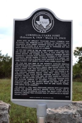
Cornelia Clark Fort
(February 5, 1919 - March 21, 1943)
Born into an affluent Tennessee family, Cornelia Fort attended the Ward-Belmont School in Nashville and graduated from Sarah Lawrence College in New York in 1939. She returned to a society life in Tennessee but was soon introduced to flying by a friend.
In her first week in the air, Fort logged over 2,000 miles. She became an instructor in 1941, a year after her first flying lesson. She worked with President Franklin Delano Roosevelt’s civilian pilot training program at Fort Collins, Colorado, before taking a similar position in Hawaii. She was airborne with a trainee when Japanese forces attacked Pearl Harbor; Fort landed safely while under enemy fire.
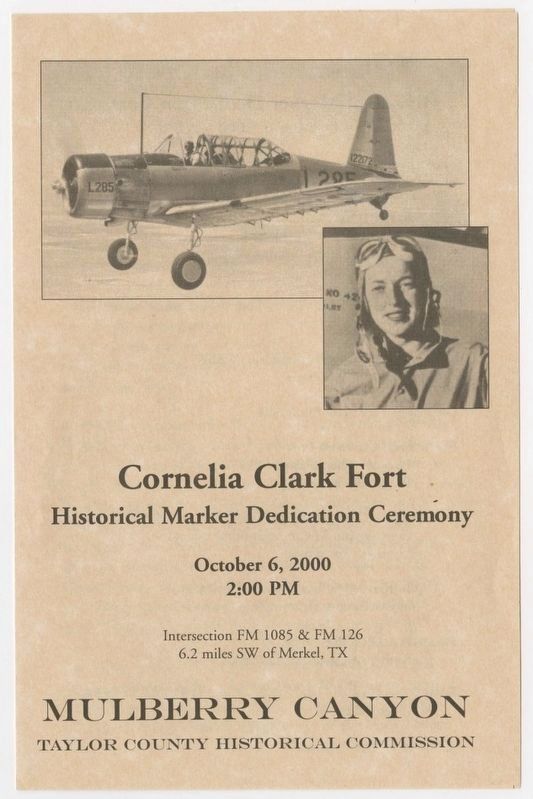
By 1942 she was part of the Women’s Auxiliary Ferrying Squadron (WAFS) commended by Nancy Harkness Love. Fort and 26 other women pilots ferried war planes across the United States. Fort was transferred to a new squadron in Long Beach, California. On March 21, 1943, she ferried a BT-13A airplane toward Dallas’ Love Field. While flying in formation, her plane struck another aircraft. Available records indicate that Fort was the first American woman pilot to die on active military duty when she plunged into the rugged terrain of Mulberry Canyon, three miles southeast of this site. Shortly before her death at age 24, Cornelia wrote, “I am grateful that my one talent, flying, was useful to my country.”
On August 4, 1943, WAFS personnel merged with and helped create the Women Airforce Service Pilots (WASP), led by noted aviator Jacqueline Cochran. The WASP’s most famous training ground was Avenger Field at Sweetwater in nearby Nolan County.
Erected 2000 by Texas Historical Commission. (Marker Number 12216.)
Topics and series. This historical marker is listed in these topic lists: Air & Space • War, World II • Women. In addition, it is included in the Women Airforce Service Pilots (WASP) series list. A significant historical month for this entry is March 1849.
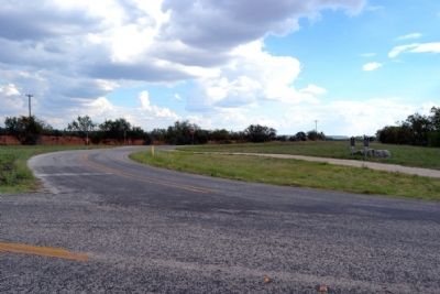
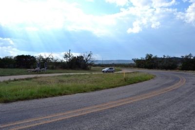
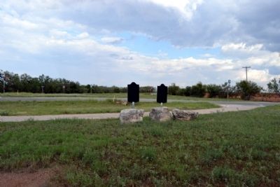
Location. 32° 24.281′ N, 100° 4.176′ W. Marker is near Merkel, Texas, in Taylor County. Marker is at the intersection of Farm to Market Road 126 and Farm to Market Road 1085, on the right when traveling south on Road 126. Touch for map. Marker is in this post office area: Merkel TX 79536, United States of America. Touch for directions.
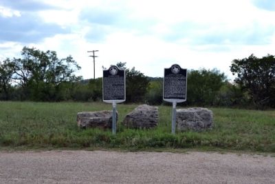
Other nearby markers. At least 8 other markers are within 12 miles of this marker, measured as the crow flies. Mulberry Canyon (here, next to this marker); Castle Peak (approx. 5.7 miles away); Vicinity of Indian Fight (approx. 5.7 miles away); Mountain Pass Station (approx. 5.9 miles away); Near Site of Indian Battle (approx. 5.9 miles away); Drummond Cemetery (approx. 11.6 miles away); In Vicinity of Coronado's Camp (approx. 11.6 miles away); Butterfield Trail (approx. 11.6 miles away). Touch for a list and map of all markers in Merkel.
Also see . . .
1. Cornelia Fort - Wikipedia entry. (Submitted on October 6, 2014.)
2. Cornelia Clark Fort Crash Site Memorial. Memorial page with photographs of the crash site in Mulberry Canyon. (Submitted on October 6, 2014.)
Credits. This page was last revised on July 23, 2021. It was originally submitted on October 6, 2014, by Duane Hall of Abilene, Texas. This page has been viewed 1,107 times since then and 78 times this year. Photos: 1, 2, 3, 4, 5. submitted on October 6, 2014, by Duane Hall of Abilene, Texas. 6. submitted on July 23, 2020.
