Fort Wright in Kenton County, Kentucky — The American South (East South Central)
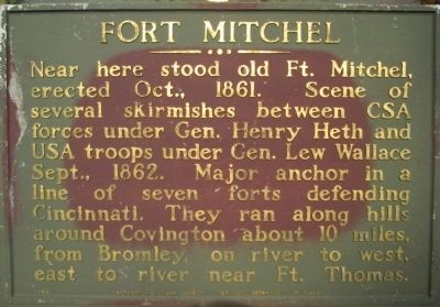
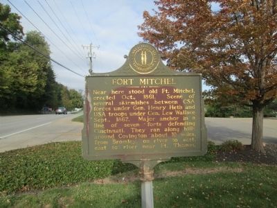
Fort Mitchel
Erected 1962 by Kentucky Historical Society, Kentucky Department of Highways. (Marker Number 546.)
Topics and series. This historical marker is listed in these topic lists: Forts and Castles • War, US Civil. In addition, it is included in the Kentucky Historical Society series list. A significant historical date for this entry is September 2, 1862.
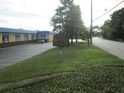
Location. 39° 3.43′ N, 84° 32.651′ W. Marker is in Fort Wright, Kentucky, in Kenton County. Marker is on Dixie Highway (U.S. 42) south of Rivard Road, on the right when traveling north. Marker is located at the driveway to Heritage Bank. Touch for map. Marker is at or near this postal address: 1911 Dixie Hwy, Covington KY 41011, United States of America. Touch for directions.
Other nearby markers. At least 8 other markers are within 2 miles of this marker, measured as the crow flies. Old Fort Mitchell Historic District (approx. 0.4 miles away); A Confederate Thrust (approx. half a mile away); Fort Mitchell Country Club Centennial (approx. 0.6 miles away); Fort Wright (approx. 0.6 miles away); Beechwood Historic District (approx. 0.9 miles away); Confederate Financier / Confederate Benefactor (approx. one mile away); Gen. Ormsby MacKnight Mitchel (approx. 1.1 miles away); St. John the Evangelist Church (approx. 1.8 miles away).
Credits. This page was last revised on June 16, 2016. It was originally submitted on October 17, 2014, by Rev. Ronald Irick of West Liberty, Ohio. This page has been viewed 820 times since then and 114 times this year. Photos: 1, 2, 3. submitted on October 17, 2014, by Rev. Ronald Irick of West Liberty, Ohio. • Bernard Fisher was the editor who published this page.


