Cape Henlopen State Park near Lewes in Sussex County, Delaware — The American Northeast (Mid-Atlantic)
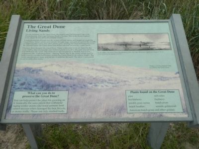
The Great Dune
Living Sands
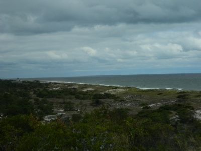
You are standing on the Great Dune, the largest sand hill between Cape Cod, Massachusetts, and Cape Hatteras, North Carolina. This is the dune's highest point, about 80 feet above the Atlantic Ocean.
It took thousands of years and the actions of both nature and people to create the Great Dune. Wind, waves and currents brought huge amounts of sand to the mouth of Delaware Bay. Grass and other plants grew, holding the sand and trapping more. By colonial times, the Great Dune was 46 feet tall and covered by a pine forest.
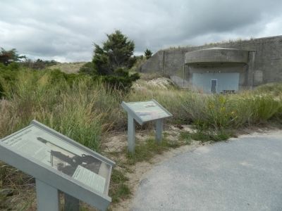
Humans then changed the Great Dune. Many of the trees were cut down by the early 1800's. Fires burned the rest. Without plants to hold it, the sand was set loose and shifted by the wind. The Great Dune moved inland so steadily that it was nicknamed the "Galloping Dune." During World War II, the Army added sand to hide a newly-constructed bunker, raising the Great Dune to its current height. The Army planted grass, trees, and shrubs to stabilize the sand. The dune's movement is not as noticeable today.
Topics. This historical marker is listed in these topic lists: Environment • Horticulture & Forestry • War, World II.
Location. 38° 46.633′ N, 75° 5.203′ W. Marker is near Lewes, Delaware, in Sussex County. It is in Cape Henlopen State Park. Marker can be reached from Dune Road. Located within Cape Henlopen State Park. Touch for map. Marker is in this post office area: Lewes DE 19958, United States of America. Touch for directions.
Other nearby markers. At least 8 other markers are within walking distance of this marker. The Cape Henlopen Lighthouse (here, next to this marker); 16-inch Gun (about 400 feet away, measured in a direct line); Proof Steel (about 400 feet away); 8-inch Gun (about 500 feet away); 6-inch Gun (about 500 feet away); 155mm Gun (about 600 feet away); Fort Miles Artillery Park (about 700 feet away); Aircraft Warning System (approx. 0.2 miles away). Touch for a list and map of all markers in Lewes.
Credits. This page was last revised on September 18, 2023. It was originally submitted on November 26, 2014, by Nathan Davidson of Salisbury, Maryland. This page has been viewed 887 times since then and 136 times this year. Photos: 1, 2, 3. submitted on November 26, 2014, by Nathan Davidson of Salisbury, Maryland. • Bill Pfingsten was the editor who published this page.


