Near Hondo in Medina County, Texas — The American South (West South Central)
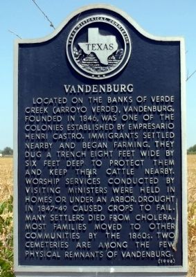
Vandenburg
Erected 1996 by Texas Historical Commission. (Marker Number 5639.)
Topics and series. This historical marker is listed in these topic lists: Cemeteries & Burial Sites • Settlements & Settlers. In addition, it is included in the San Antonio-El Paso Road series list. A significant historical year for this entry is 1846.
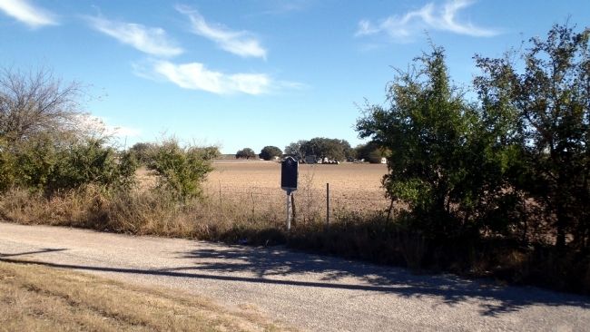
Location. 29° 24.931′ N, 99° 7.006′ W. Marker is near Hondo, Texas, in Medina County. Marker is on State Highway 173, 0.8 miles north of County Route 441, on the right when traveling north. Touch for map. Marker is in this post office area: Hondo TX 78861, United States of America. Touch for directions.
Other nearby markers. At least 8 other markers are within 5 miles of this marker, measured as the crow flies. Masonic Cemetery (approx. 3.6 miles away); Mission Valley (approx. 3.7 miles away); Battle of the Arroyo Hondo (approx. 3.8 miles away); Early New Fountain Community (approx. 4 miles away); New Fountain United Methodist Church (approx. 4 miles away); Lon Moore (approx. 4.4 miles away); Old Medina County Jail (approx. 4.7 miles away); Hondo Methodist Church (approx. 4.7 miles away). Touch for a list and map of all markers in Hondo.
Regarding Vandenburg. Vandenburg was on the original route of the San Antonio-El Paso Military Road which saw significant use in the 1850's by wagon trains bound for the gold fields of California. During the U.S. Army's "March to El Paso" in 1849, which opened the road, Major William S. Henry of the 3d Infantry wrote "We marched 12 miles on the 7th (July) and encamped on the Rio Hondo. The country is, if anything, more rolling with a good deal of lime stone formation. Four miles from the Hondo, you pass through the German settlement called Vandenburg. There is no water in the stream on which it is located, and the inhabitants are forced to haul their water three miles."
Credits. This page was last revised on June 16, 2016. It was originally submitted on November 29, 2014, by William F Haenn of Fort Clark (Brackettville), Texas. This page has been viewed 1,342 times since then and 147 times this year. Photos: 1, 2. submitted on November 29, 2014, by William F Haenn of Fort Clark (Brackettville), Texas. • Bernard Fisher was the editor who published this page.

