Mlk-183 in Austin in Travis County, Texas — The American South (West South Central)
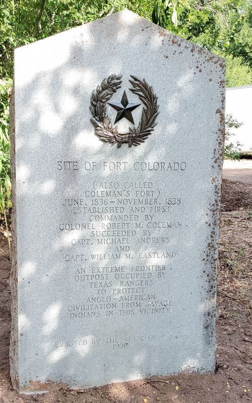
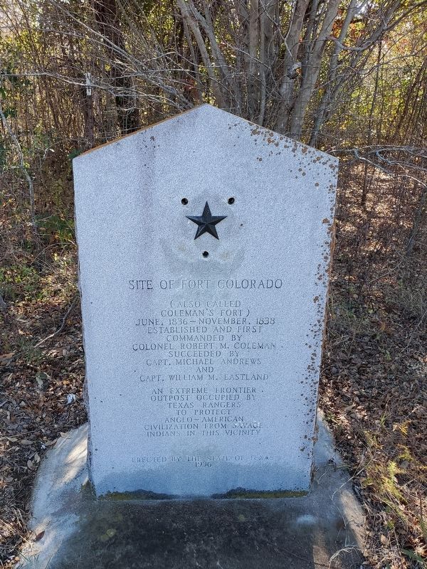
Site of Fort Colorado
(Also called Coleman’s Fort)
Inscription.
Established and first commanded by
Colonel Robert M. Coleman.
Succeeded by Capt. Michael Andrews
And
Capt. William M. Eastland.
An extreme frontier outpost occupied by Texas Rangers to protect Anglo-American civilization from savage Indians in this vicinity.
Erected 1936 by State of Texas. (Marker Number 14229.)
Topics and series. This historical marker is listed in these topic lists: Exploration • Forts and Castles • Military • Native Americans. In addition, it is included in the Texas 1936 Centennial Markers and Monuments series list. A significant historical year for this entry is 1836.
Location. 30° 17.166′ N, 97° 40.475′ W. Marker is in Austin, Texas, in Travis County. It is in Mlk-183. Marker can be reached from 5401 E Martin Luther King Jr Blvd, Austin TX 78721, on the right when traveling east. Touch for map. Marker is in this post office area: Austin TX 78723, United States of America. Touch for directions.
Other nearby markers. At least 8 other markers are within 3 miles of this marker, measured as the crow flies. First Colored Baptist Church (approx. 0.4 miles away); Bethany Cemetery (approx. 0.8 miles away); Annie Webb Blanton (approx. 1.7 miles away); Josiah Pugh Wilbarger (approx. 1.9 miles away); The Original Townsite of Montopolis (approx. 2.1 miles away); Downs Field (approx. 2.2 miles away); Maud Anna Berry Smith Fuller (approx. 2.3 miles away); L.C. Anderson High School and Integration of Austin’s Public Schools (approx. 2.3 miles away). Touch for a list and map of all markers in Austin.
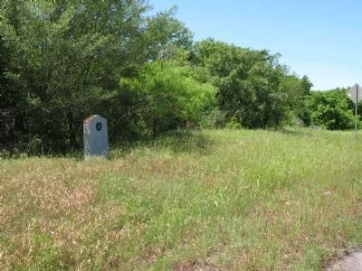
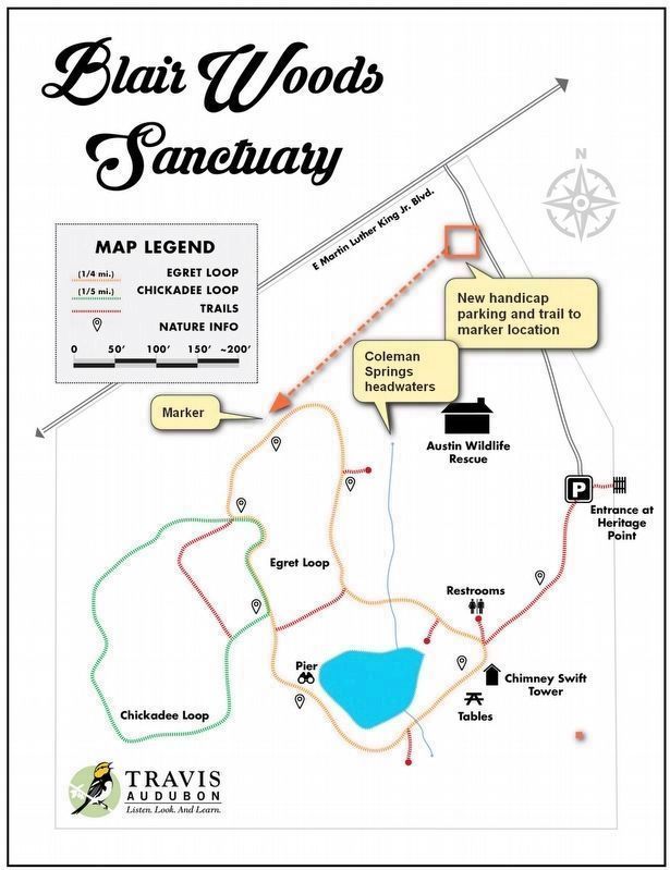
More about this marker. In 1936 this marker was located north of today's Martin Luther Kind Blvd (MLK), before MLK was constructed. In 1966 the Texas Highway Department relocated the marker to the south side of MLK to make way for a housing subdivision. With no pull-off, in time the increased traffic on MLK made access to the marker unsafe, and it was being vandalized. In the summer of 2023, working with Travis Audubon and the Texas Historical Commission, the Travis County Historical Commission, with additional grant funding from Preservation Austin, had the marker moved onto Travis Audubon's Blair Woods Preserve / Sanctuary as part of a larger project to interpret the history of Fort Colorado in conjunction with the National Park Service and El Camino Real de los Tejas Trail Association. The marker is no longer visible from MLK. It is accessible via a well-maintained trail above Coleman Springs. The marker was moved and restored by Gilbert Beall Monuments of Austin.
Also see . . .
1. Blair Woods Nature Preserve. Travis Audubon's web page for Blair Woods. (Submitted on July 6, 2023, by Richard Denney of Austin, Texas.)
2. Update on the Texas Centennial Historical Marker at Blair Woods. at the request of and in collaboration with the Texas Historical Commission and the Travis County Historical Commission, a 1936 Texas Centennial historical marker was moved from the Martin Luther King Jr Blvd right-of-way, adjacent to Blair Woods, into the preserve itself. Due to the markers historically inaccurate and offensive text, plans are being made to add an interpretive educational display exploring fully the role of the fort in the lives of all the local people. (Submitted on July 21, 2023.)
Photographed By Richard Denney
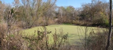
4. Blair Woods Pond
Pond created for wildlife by UT's Dr. Frank Blair by impounding water from nearby Coleman Springs. Blair, an internationally recognized zoologist, donated the property to Travis Audubon upon his death in 1985. Coleman Springs was utilized by Fort Colorado. Gunnar Brune (Springs of Texas, Volume 1) states that soldiers from the fort used the water between 1836 and 1838, and was also a favorite Indian campground in earlier days.
Credits. This page was last revised on July 21, 2023. It was originally submitted on April 25, 2010, by Richard Denney of Austin, Texas. This page has been viewed 1,888 times since then and 114 times this year. Last updated on July 6, 2023, by Richard Denney of Austin, Texas. Photos: 1. submitted on July 3, 2023, by Richard Denney of Austin, Texas. 2, 3. submitted on April 25, 2010, by Richard Denney of Austin, Texas. 4. submitted on November 28, 2012, by Richard Denney of Austin, Texas. 5. submitted on December 27, 2020, by Richard Denney of Austin, Texas. 6. submitted on July 4, 2023, by Richard Denney of Austin, Texas. • James Hulse was the editor who published this page.
