Pigeon Island, Gros Islet, Saint Lucia — Caribbean Region (Lesser Antilles)
Carib Caves
Carib Caves
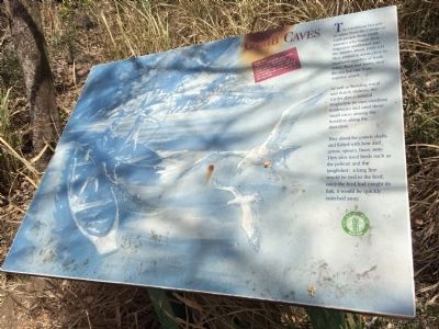
The Caribbean Sea gets its name from the Calingo or Carib people from South America who began their migration northward into the Antilles about 1000 A.D. They settled in areas close to the mainland supplies of fresh water, flora and fauna, near the sea but safe from surprise attack.
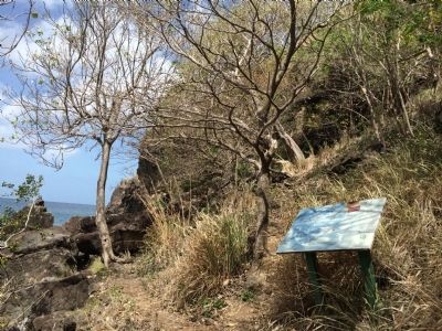
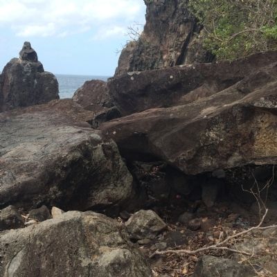
As well as building wood and thatch shelters, the Carib also exhibited troglodytic or cave-dwelling tendencies and used these small caves among the borders along the shoreline.
They dived for conch shells and fished with bow and arrow, spears, lines, nets. The also used birds such as the pelican and the kingfisher: a long line would be tied to the bird; once the bird had caught its fish, it would be quickly snatched away.
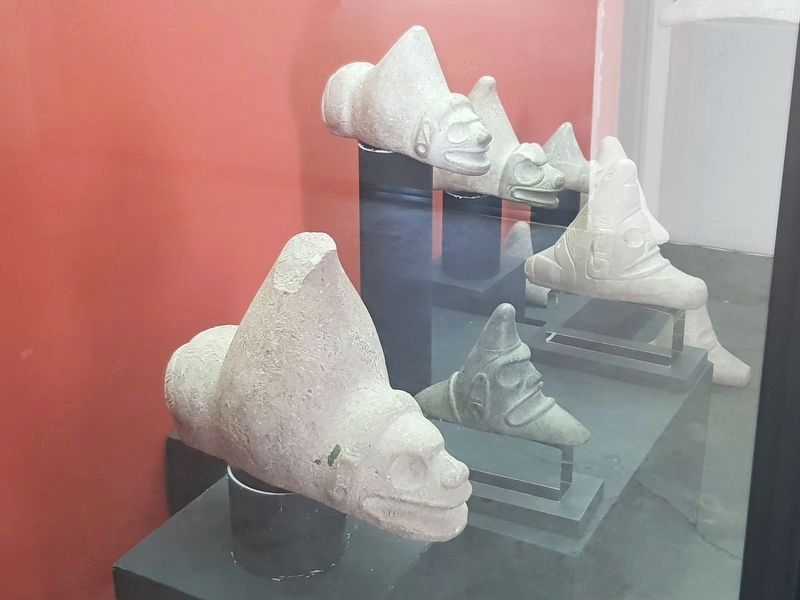
Look for offshore marine life and corals, coloured sea algae on the rocks beyond the caves, and orchids growing on the cliff face. Also look for the zemi on top of the big rock.
Erected by Saint Lucia National Trust.
Topics. This historical marker is listed in these topic lists: Native Americans • Settlements & Settlers.
Location. 14° 5.432′ N, 60° 57.971′ W. Marker is on Pigeon Island, Gros Islet. This marker is at Pigeon Island Natural Landmark. It is the last marker on the path along the beach of the park. Touch for map. Marker is in this post office area: Pigeon Island, Gros Islet LC01 101, Saint Lucia. Touch for directions.
Other nearby markers. At least 8 other markers are within walking distance of this marker. U.S. Signal Station (about 90 meters away, measured in a direct line); Fort Rodney (about 120 meters away); Josset's House (about 120 meters away); Musket Redoubt (about 150 meters away); Lime Kiln (approx. 0.3 kilometers away); Gunslide (approx. 0.3 kilometers away); Cooperage (approx. 0.3 kilometers away); C.O.'s Quarters (approx. 0.4 kilometers away). Touch for a list and map of all markers in Pigeon Island.
Credits. This page was last revised on June 3, 2018. It was originally submitted on April 26, 2015, by J. Makali Bruton of Accra, Ghana. This page has been viewed 3,203 times since then and 213 times this year. Photos: 1, 2, 3. submitted on April 26, 2015, by J. Makali Bruton of Accra, Ghana. 4. submitted on June 3, 2018, by J. Makali Bruton of Accra, Ghana. • Andrew Ruppenstein was the editor who published this page.


