Thompson's Station in Williamson County, Tennessee — The American South (East South Central)
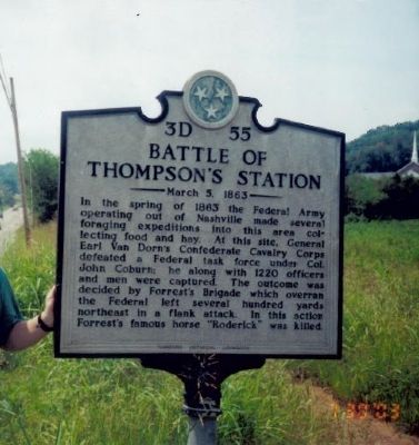
Battle of Thompsonís Station
March 5, 1863
Erected by Tennessee Historical Commission. (Marker Number 3D 55.)
Topics and series. This historical marker is listed in this topic list: War, US Civil. In addition, it is included in the Tennessee Historical Commission series list. A significant historical year for this entry is 1863.
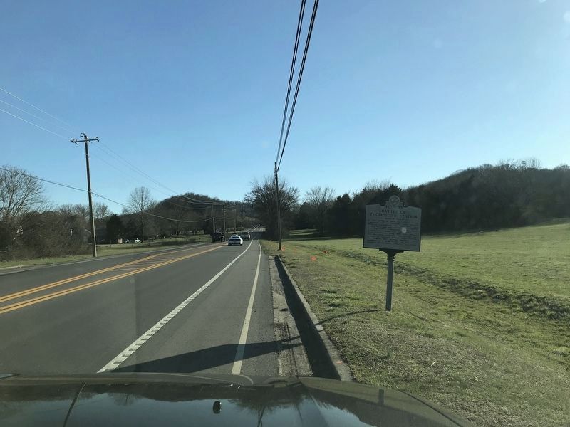
Location. Marker has been reported permanently removed. It was located near 35° 48.056′ N, 86° 54.255′ W. Marker was in Thompson's Station, Tennessee, in Williamson County. Marker was on Columbia Pike (U.S. 31), on the left when traveling north. Touch for map. Marker was in this post office area: Thompsons Station TN 37179, United States of America.
We have been informed that this sign or monument is no longer there and will not be replaced. This page is an archival view of what was.
Other nearby markers. At least 8 other markers are within walking distance of this location. Homestead Manor (a few steps from this marker); a different marker also named Battle of Thompson's Station (approx. 0.3 miles away); Thompson Station Bank (approx. 0.3 miles away); Thompson's Station (approx. 0.3 miles away); Thompson's Station Train Depot (approx. 0.3 miles away); A Deep Past, Rich Land (approx. 0.4 miles away); Early Settlers (approx. 0.4 miles away); Slavery at Thompson's Station (approx. half a mile away). Touch for a list and map of all markers in Thompson's Station.
Credits. This page was last revised on October 23, 2022. It was originally submitted on July 30, 2009, by Bill Coughlin of Woodland Park, New Jersey. This page has been viewed 2,140 times since then and 19 times this year. Last updated on October 22, 2022, by Bradley Owen of Morgantown, West Virginia. Photos: 1. submitted on July 30, 2009, by Bill Coughlin of Woodland Park, New Jersey. 2. submitted on March 1, 2020, by Duane and Tracy Marsteller of Murfreesboro, Tennessee. • Mark Hilton was the editor who published this page.

