Selma in Dallas County, Alabama — The American South (East South Central)
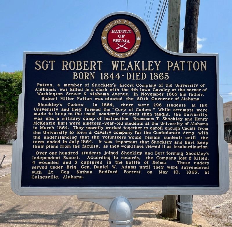
Sgt Robert Weakley Patton
Born 1844 - Died 1865
— Battle of Selma —
Patton, a member of Shockley's Escort Company of the University of Alabama, was killed in a clash with the 4th Iowa Cavalry at the corner of Washington Street and Alabama Avenue. In November 1865 his father, Robert Miller Patton, was elected the 20th Governor of Alabama.
Shockley's Cadets: In 1864, there were 296 students at the University and they formed the "Corps of Cadets." While attempts were made to keep to the usual academic courses then taught, the University was also a military camp of instruction. Branscom T. Shockley and Henry McKenzie Burt were nineteen year-old students at the University of Alabama in March 1864. They secretly worked together to enroll enough Cadets from the University to form a Cavalry company for the Confederate Army with the understanding that the volunteers would remain students until the term ended in July 1864. It was important Shockley and Burt keep their plans from the faculty, as they would have viewed it as insubordination.
Over one hundred students joined Shockley and Burt forming Shockley's Independent Escort. According to records, the company lost 2 killed, 4 wounded and 5 captured in the Battle of Selma. These cadets served under Brig. Gen. Daniel W. Adams until they were surrendered with Lt. Gen. Nathan Bedford Forrest on May 10, 1865, at Gainesville, Alabama.
Erected 2014 by the 1865 Society.
Topics. This historical marker is listed in these topic lists: Education • Government & Politics • War, US Civil. A significant historical month for this entry is March 1864.
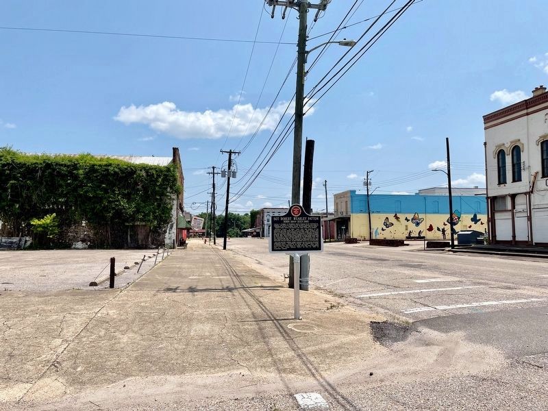
Location. 32° 24.491′ N, 87° 1.125′ W. Marker is in Selma, Alabama, in Dallas County. Marker is at the intersection of Washington Street and Alabama Avenue, on the right when traveling north on Washington Street. Touch for map. Marker is at or near this postal address: 1201 Alabama Avenue, Selma AL 36703, United States of America. Touch for directions.
Other nearby markers. At least 8 other markers are within walking distance of this marker. The Sleeping Prophet (about 500 feet away, measured in a direct line); St. James Hotel (about 500 feet away); This Tablet Commemorates the Visit of Lafayette (about 500 feet away); Water Avenue (about 600 feet away); Site of Selma-Dallas County’s 1st Bridge 1884-1940 (about 700 feet away); Burning of Downtown (about 700 feet away); Lieutenant John Tillman Melvin (about 800 feet away); VII In. Brooke Rifle (approx. 0.2 miles away). Touch for a list and map of all markers in Selma.
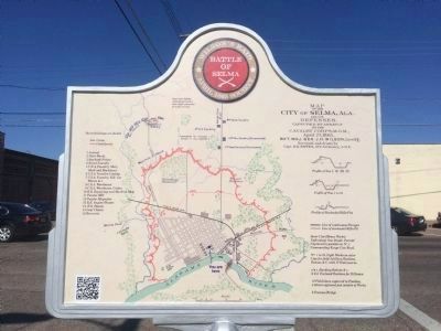
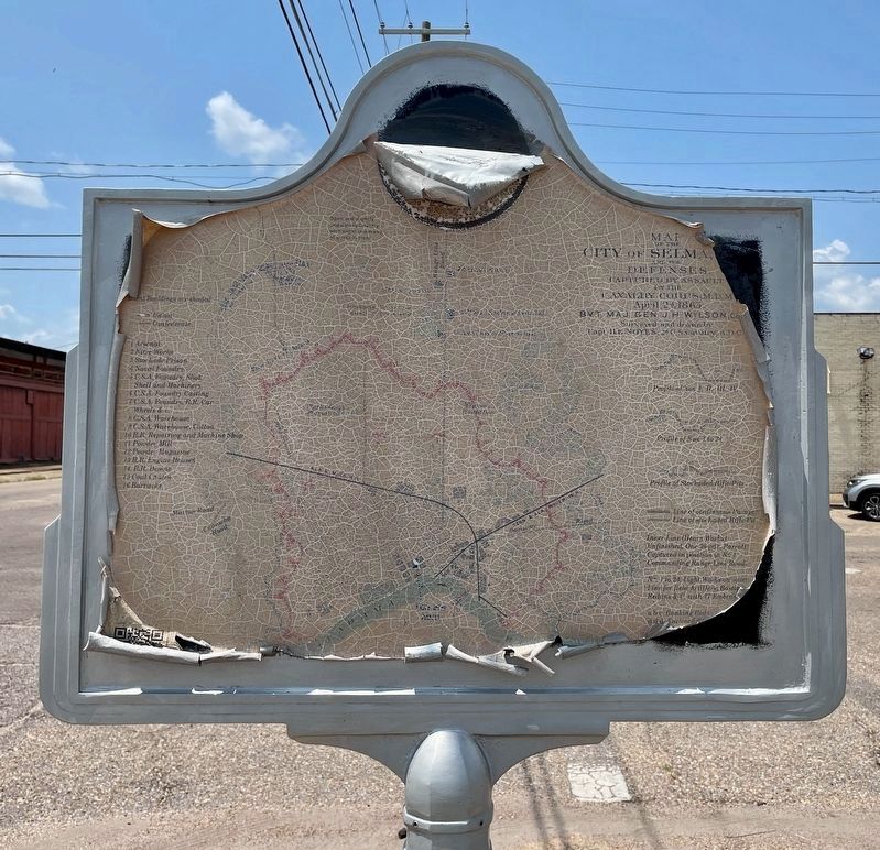
More about this marker. One of a newer interactive marker that includes QR codes that allow you to use your smartphone to see additional photos and stories.
Also see . . . Shockley's Escort Company: Cadets from the University of Alabama
. Along the Old Federal Road website entry (Submitted on February 12, 2015, by Mark Hilton of Montgomery, Alabama.)
Credits. This page was last revised on May 28, 2023. It was originally submitted on February 12, 2015, by Mark Hilton of Montgomery, Alabama. This page has been viewed 1,020 times since then and 36 times this year. Last updated on May 22, 2015, by J. Makali Bruton of Accra, Ghana. Photos: 1. submitted on May 28, 2023, by Mark Hilton of Montgomery, Alabama. 2. submitted on February 12, 2015, by Mark Hilton of Montgomery, Alabama. 3. submitted on May 28, 2023, by Mark Hilton of Montgomery, Alabama. 4. submitted on February 12, 2015, by Mark Hilton of Montgomery, Alabama. 5. submitted on May 28, 2023, by Mark Hilton of Montgomery, Alabama.
