Islamorada in Monroe County, Florida — The American South (South Atlantic)
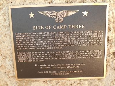
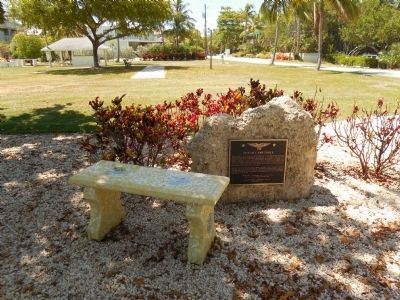
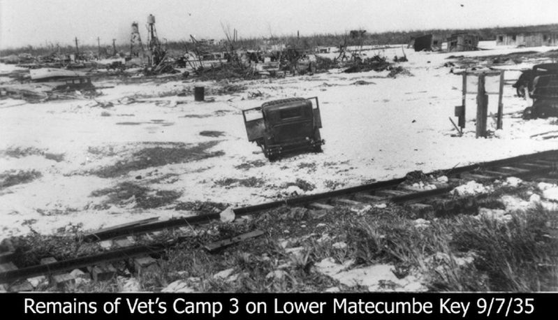
Site of Camp Three
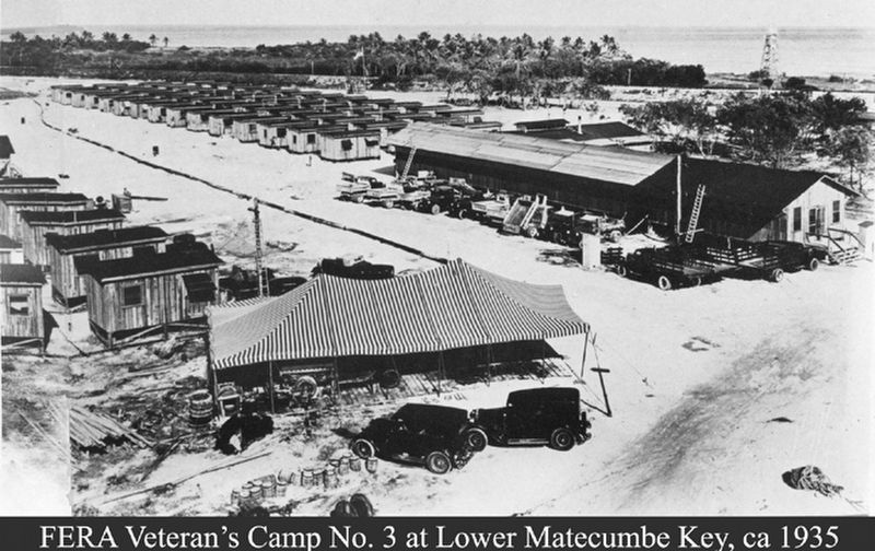
Housed first in tents and then wooden cottages, these veterans, with an average age of 40, were supposed to live having survived World War One. One hundred and ten were identified and buried in Miami at the Woodlawn Cemetery. Due to health concerns at the time the remaining bodies recovered were quickly cremated.
This marker is dedicated to those veterans who lost their lives and gave all that day.
Erected 2012 by Toll Gates Shores - Lower Matecumbe Key.
Topics. This historical marker is listed in these topic lists: Bridges & Viaducts • Cemeteries & Burial Sites • Disasters • War, World I. A significant historical date for this entry is September 2, 2004.
Location. 24° 51.184′ N, 80° 44.388′ W. Marker is in Islamorada, Florida, in Monroe County. Marker is at the intersection of Tollgate Boulevard and Toll Gate Shores Drive, on the left when traveling west on Tollgate Boulevard. Touch for map. Marker is in this post office area: Islamorada FL 33036, United States of America. Touch for directions.
Other nearby markers. At least 8 other markers are within 5 miles of this marker, measured as the crow flies. Road and Ferry (approx. 0.4 miles away); Highway Piers (approx. ¾ mile away); Tea Table Key (approx. 4.6 miles away); San Pedro Underwater Archaeological Preserve (approx. 4.6 miles away); Indian Key Historic State Park (approx. 4.7 miles away); Triangle of History (approx. 4.7 miles away); Juan Ponce de Leon (approx. 4.7 miles away); Rafters (approx. 4.7 miles away). Touch for a list and map of all markers in Islamorada.
Also see . . . 1935 Labor Day hurricane. Wikipedia entry. (Submitted on October 3, 2020, by Larry Gertner of New York, New York.)
Credits. This page was last revised on October 28, 2020. It was originally submitted on May 22, 2015, by Marsha A. Matson of Palmetto Bay, Florida. This page has been viewed 638 times since then and 29 times this year. Photos: 1, 2, 3. submitted on May 22, 2015, by Marsha A. Matson of Palmetto Bay, Florida. 4, 5. submitted on October 3, 2020, by Larry Gertner of New York, New York. • Bernard Fisher was the editor who published this page.
