Tallassee in Elmore County, Alabama — The American South (East South Central)
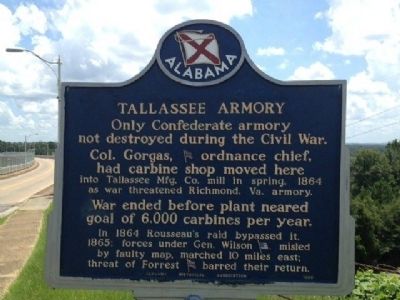
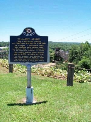
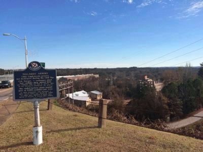
Tallassee Armory
Col. Gorgas, ordnance chief, had carbine shop moved here into Tallassee Mfg. Co. mill in spring, 1864 as war threatened Richmond, Va. armory.
War ended before plant neared goal of 6,000 carbines per year.
In 1864 Rousseau's raid bypassed it.
1865: forces under Gen. Wilson misled by faulty map, marched 10 miles east; threat of Forrest barred their return.
Erected 1965 by Alabama Historical Association.
Topics and series. This historical marker is listed in this topic list: War, US Civil. In addition, it is included in the Alabama Historical Association series list. A significant historical year for this entry is 1864.
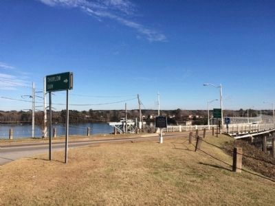
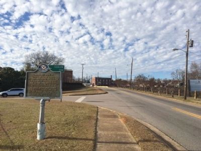
Location. 32° 32.102′ N, 85° 53.461′ W. Marker is in Tallassee, Alabama, in Elmore County. Marker is at the intersection of Barnett Boulevard (Alabama Route 14) and Outer Drive, on the right when traveling east on Barnett Boulevard. Located just west of the Thurlow Dam. Touch for map. Marker is in this post office area: Tallassee AL 36078, United States of America. Touch for directions.
Other nearby markers. At least 8 other markers are within 7 miles of this marker, measured as the crow flies. Brigadier General Birkett Davenport Fry, CSA / Tallassee Confederate Officers Quarters (approx. 0.2 miles away); History of Tallassee (approx. 0.4 miles away); Tukabahchi (approx. 0.4 miles away); Tallassee Vietnam War Memorial (approx. 0.4 miles away); The First United Methodist Church of Tallassee (approx. 0.4 miles away); Tukabatchee / Tokvpvcce (approx. 4.1 miles away); Franklin's Educational Legacy (approx. 6.9 miles away); Site of Thaddeus Post Office (approx. 7.1 miles away). Touch for a list and map of all markers in Tallassee.
Credits. This page was last revised on June 16, 2016. It was originally submitted on August 18, 2013, by Mark Hilton of Montgomery, Alabama. This page has been viewed 1,184 times since then and 86 times this year. Last updated on May 25, 2015, by J. Makali Bruton of Accra, Ghana. Photos: 1. submitted on August 18, 2013, by Mark Hilton of Montgomery, Alabama. 2. submitted on August 19, 2013, by Mark Hilton of Montgomery, Alabama. 3, 4, 5. submitted on December 26, 2014, by Mark Hilton of Montgomery, Alabama. • Bill Pfingsten was the editor who published this page.
