Piermont in Rockland County, New York — The American Northeast (Mid-Atlantic)
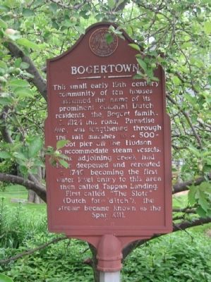
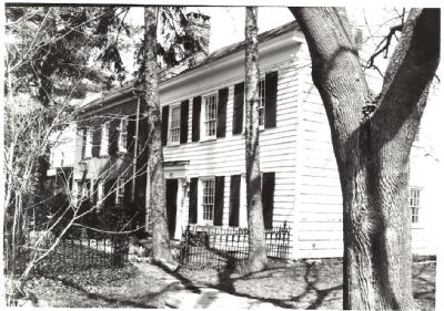
Bogertown
Erected by The Historical Society of Rockland County.
Topics. This historical marker is listed in these topic lists: Settlements & Settlers • Waterways & Vessels. A significant historical year for this entry is 1824.
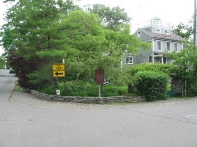
Location. 41° 2.401′ N, 73° 54.773′ W. Marker is in Piermont, New York, in Rockland County. Marker is at the intersection of Paradise Ave. and Ferry Road on Paradise Ave.. Touch for map. Marker is at or near this postal address: 102 Paradise Ave, Piermont NY 10968, United States of America. Touch for directions.
Other nearby markers. At least 8 other markers are within walking distance of this marker. Sneden House (about 700 feet away, measured in a direct line); The Flywheel: A Monument to Piermont's Industrial Past (about 700 feet away); Roll of Honor (approx. 0.2 miles away); Last Stop U.S.A. (approx. 0.2 miles away); Bridge Street Bridge Over The Sparkill Creek (approx. ¼ mile away); Piermont Station (approx. 0.3 miles away); Onderdonk House (approx. 0.6 miles away); Gravesite of General John Charles Frémont (approx. 0.8 miles away). Touch for a list and map of all markers in Piermont.
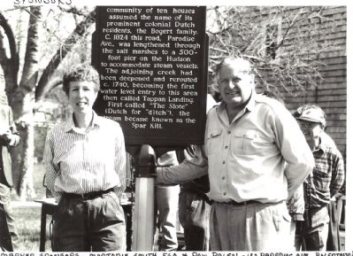
More about this marker. Marjorie Smith and Paul Palen, sponsors
Credits. This page was last revised on January 22, 2023. It was originally submitted on June 3, 2015, by The Historical Society of Rockland County of New City, New York. This page has been viewed 1,005 times since then and 51 times this year. Photos: 1. submitted on June 15, 2015, by Michael Herrick of Southbury, Connecticut. 2, 3. submitted on June 4, 2015, by The Historical Society of Rockland County of New City, New York. 4. submitted on June 15, 2015, by Michael Herrick of Southbury, Connecticut. • Bill Pfingsten was the editor who published this page.


