Near Belmont in Tishomingo County, Mississippi — The American South (East South Central)
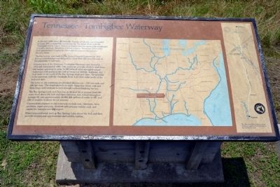
Tennessee - Tombigbee Waterway
The first survey was made by the Army Corps of Engineers in 1827. Serious consideration was delayed for more than 100 years because of the expansion of railroads.
Construction of the Tennessee Tombigbee Waterway was started in 1972 and completed in 1985. The waterway provides shallow draft boats and barges operating in some 16,000 miles of other navigable inland waterways with access to the Gulf of Mexico at Mobile, Alabama, 412 river miles to the south of the Bay Springs Lock and Dam. The junction of the waterway with the Tennessee River is 47 river miles north of the lock and dam.
The locks on the waterway are standard dimensions—110 feet wide and 600 feet long. This length permits an eight-barge tow (three wide and three long) with towboat to lock through without breaking the tow.
The Bay Springs Lock and Dam has an 84-foot lift at normal pool (the water level above the lock and dam) elevation 414. A lock-through of average lift uses approximately 42,000,000 gallons of water to fill, and fills or empties in about 12-14 minutes.
Commodities shipped on the waterway include ores, chemicals, farm products, paper and pulp, minerals and primary metals, coal, and staples for manufacture and export.
Water impoundments such as Bay Springs Lake above the lock and dam provide recreational opportunities and wildlife habitat.
Erected by National Park Service.
Topics and series. This historical marker is listed in these topic lists: Industry & Commerce • Waterways & Vessels. In addition, it is included in the Natchez Trace series list. A significant historical year for this entry is 1810.
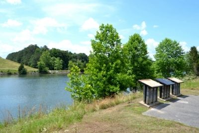
Location. 34° 30.338′ N, 88° 19.435′ W. Marker is near Belmont, Mississippi, in Tishomingo County. Marker can be reached from Natchez Trace Parkway (at milepost 293.2), 0.3 miles west of John Rankin Highway (County Road 1). Marker is located 500 feet west of the parking lot for the Tennessee - Tombigbee Waterway turnoff from the Natchez Trace Parkway. Touch for map. Marker is in this post office area: Dennis MS 38838, United States of America. Touch for directions.
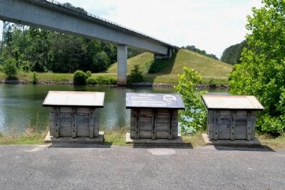
Other nearby markers. At least 8 other markers are within 10 miles of this marker, measured as the crow flies. Jamie L. Whitten Historic Landmark (here, next to this marker); River, Canal and Cut (here, next to this marker); Butler Dogtrot Cabin (approx. 1.3 miles away);
a different marker also named Butler Dogtrot Cabin (approx. 1.3 miles away); Pharr Mounds (approx. 6 miles away); Mac McAnally (approx. 6˝ miles away); Donivan Slough (approx. 9.2 miles away); a different marker also named Donivan Slough (approx. 9.2 miles away). Touch for a list and map of all markers in Belmont.
Also see . . .
1. Natchez Trace. Official National Park Service website. (Submitted on June 26, 2015.)
2. Tennessee - Tombigbee Waterway. From the Encyclopedia of Alabama. (Submitted on June 26, 2015.)
Credits. This page was last revised on June 16, 2016. It was originally submitted on June 26, 2015, by Duane Hall of Abilene, Texas. This page has been viewed 443 times since then and 24 times this year. Photos: 1, 2, 3, 4. submitted on June 26, 2015, by Duane Hall of Abilene, Texas.


