Auburn in Lee County, Alabama — The American South (East South Central)
Wright’s Mill
Side 1
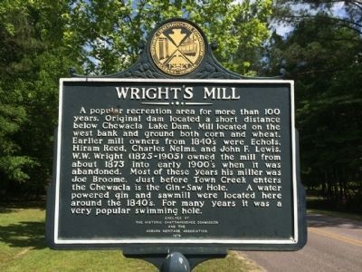
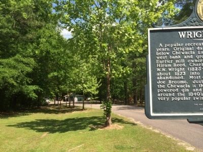
A popular recreation area for more than 100 years. Original dam located a short distance below Chewacla Lake Dam. Mill located on the west bank and ground both corn and wheat. Earlier mill owners from 1840's were Echols, Hiram Reed, Charles Nelms, and John F. Lewis. W.W. Wright (1825–1905) owned the mill from about 1873 into early 1900’s when it was abandoned. Most of these years his miller was Joe Broome. Just before Town Creek enters the Chewacla is the Gin-Saw Hole. A water powered gin and sawmill were located here in the 1840’s. For many years it was a very popular swimming hole.
Side 2
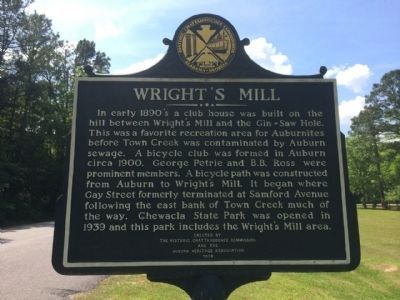
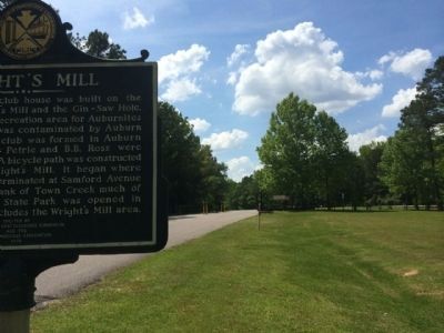
In early 1890's a club house was built on the hill between Wright’s Mill and the Gin-Saw Hole. This was a favorite area for Auburnites before Town Creek was contaminated by Auburn sewage. A bicycle club was formed in Auburn circa 1900. George Petrie and B.B. Ross were prominent members. A bicycle path was constructed from Auburn to Wright’s Mill. It began where Gay Street formerly terminated at Samford Avenue following the east bank of Town Creek much of the way. Chewacla State Park was opened in 1939 and this park included the Wright’s Mill area.
Erected 1979 by the Historic Chattahoochee Commission and the Auburn Heritage Association.
Topics. This historical marker is listed in these topic lists: Industry & Commerce • Waterways & Vessels. A significant historical year for this entry is 1873.
Location. 32° 33.248′ N, 85° 28.845′ W. Marker is in Auburn, Alabama, in Lee County. Marker is at the intersection of Murphy Drive and Wrights Mill Road (County Road 33), on the left when traveling east on Murphy Drive. Located in Chewacla State Park. Touch for map. Marker is at or near this postal address: 124 Shell Toomer Parkway, Auburn AL 36830, United States of America. Touch for directions.
Other nearby markers. At least 8 other markers are within 4 miles of this marker, measured as the crow flies. Chewacla State Park (approx. 0.2 miles away); The Cullars Rotation / The Alvis Field and Cotton Rust (approx. 2.3 miles away); Advancing American Art Collection (approx. 2.4 miles away); The Old Rotation (approx. 2.8 miles away); Auburn University and the Alabama Farmers Federation (approx. 2.8 miles away); Founders' Oak (approx. 2.9 miles away); Pine Hill Cemetery (approx. 3.2 miles away); Desegregation at Auburn (approx. 3.4 miles away). Touch for a list and map of all markers in Auburn.
Credits. This page was last revised on June 16, 2016. It was originally submitted on May 8, 2014, by Mark Hilton of Montgomery, Alabama. This page has been viewed 1,321 times since then and 111 times this year. Last updated on July 8, 2015, by J. Makali Bruton of Accra, Ghana. Photos: 1, 2, 3, 4. submitted on May 8, 2014, by Mark Hilton of Montgomery, Alabama.


