Barnwell in Barnwell County, South Carolina — The American South (South Atlantic)
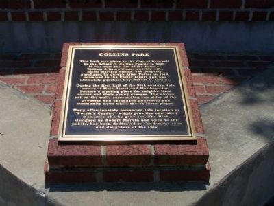
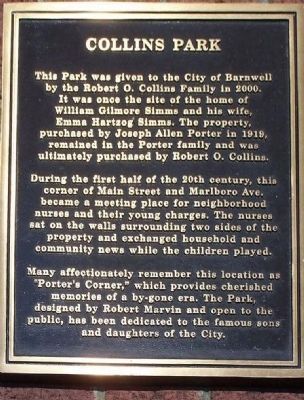
Collins Park
by the Robert O. Collins Family in 2000.
It was once the site of the home of
William Gilmore Simms and his wife,
Emma Hertzog Simms. The property,
purchased by Joseph Allen Porter in 1919,
remained in the Porter family and was
ultimately purchased by Robert O. Collins.
During the first half of the 20th century, this
corner of Main Street and Marlboro Ave.
became a meeting place for neighborhood
nurses and their young charges. The nurses
sat on the walls surrounding two sides of the
property and exchanged household and
community news while the children played.
Many affectionately remember this location as
"Porter's Corner," which provides cherished
memories of a by-gone era. The Park,
designed by Robert Marvin and open to the
public, has been dedicated to the famous sons
and daughters of the City.
Erected 2000 by City of Barnwell.
Topics. This historical marker is listed in this topic list: Parks & Recreational Areas. A significant historical year for this entry is 2000.
Location. 33° 14.676′ N, 81° 21.543′ W. Marker is in Barnwell, South Carolina, in Barnwell County. Marker is at the intersection of Marlboro (State Highway 3) and Main Street (State Highway 70), on the right when traveling south on Marlboro. Touch for map. Marker is in this post office area: Barnwell SC 29812, United States of America. Touch for directions.
Other nearby markers. At least 10 other markers are within walking distance of this marker. The Barnwell Ring Monument (a few steps from this marker); Barnwell (a few steps from this marker); William Gilmore Simms (within shouting distance of this marker); The Police Station (approx. 0.3 miles away); “The Sundial” (approx. 0.3 miles away); Barnwell County Courthouse (approx. 0.4 miles away); Bank Of Barnwell / Edgar A. Brown Law Office (approx. 0.4 miles away); Solomon Blatt, Sr. (approx. 0.4 miles away); Edgar A. Brown (approx. 0.4 miles away); Barnwell County Revolutionary War Monument (approx. 0.4 miles away). Touch for a list and map of all markers in Barnwell.
Credits. This page was last revised on January 23, 2020. It was originally submitted on June 24, 2008, by Mike Stroud of Bluffton, South Carolina. This page has been viewed 1,374 times since then and 12 times this year. Photos: 1. submitted on June 24, 2008, by Mike Stroud of Bluffton, South Carolina. 2. submitted on October 8, 2012, by Mike Stroud of Bluffton, South Carolina. 3. submitted on June 24, 2008, by Mike Stroud of Bluffton, South Carolina. 4. submitted on June 14, 2016, by Brian Scott of Anderson, South Carolina. • Kevin W. was the editor who published this page.


