Marker Logo HMdb.org THE HISTORICAL
MARKER DATABASE
“Bite-Size Bits of Local, National, and Global History”
Key West in Monroe County, Florida — The American South (South Atlantic)
 

West Martello


West Martello Marker image. Click for full size.
Photographed By Marsha A. Matson, May 28, 2015
1. West Martello Marker
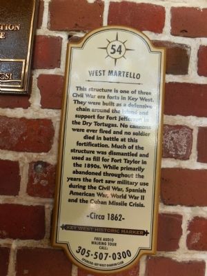
Inscription. This structure is one of three Civil War era forts in Key West. They were built as a defensive chain around the island and support for Fort Jefferson in the Dry Tortugas. No cannons were ever fired and no soldier died in battle at this fortification. Much of the structure was dismantled and used as fill for Fort Taylor in the 1890s. While primarily abandoned throughout the years the fort saw military use during the Civil War, Spanish American War, World War II and the Cuban Missile Crisis.
-Circa 1862-

 
Erected by Key West Garden Club. (Marker Number 54.)
 
Topics. This historical marker is listed in these topic lists: Forts and CastlesWar, Spanish-AmericanWar, US CivilWar, World II.
 
Location. 24° 32.845′ N, 81° 47.165′ W. Marker is in Key West, Florida, in Monroe County. Marker is at the intersection of Atlantic Boulevard and White Street, on the left when traveling south on Atlantic Boulevard. Touch for map. Marker is at or near this postal address: 1100 Atlantic Boulevard, Key West FL 33040, United States of America. Touch for directions.
 
Other nearby markers. At least 8 other markers are within walking distance of this marker. African Cemetery at Higgs Beach (within shouting distance of this marker); Key West Roosters (about 600 feet away, measured in a direct
Paid Advertisement
Click on the ad for more information.
Please report objectionable advertising to the Editor.
Click or scan to see
this page online
line); La Brisa House (approx. 0.4 miles away); Josephine Parker City Hall (approx. 0.4 miles away); Key West City Hall (approx. 0.4 miles away); 1846 "Havana" Hurricane (approx. 0.4 miles away); 1909 & 1910 Hurricanes (approx. half a mile away); Bruce Hall (approx. half a mile away). Touch for a list and map of all markers in Key West.
 
Also see . . .  History - West Martello Tower. Key West Garden Club (Submitted on July 12, 2015.) 
 
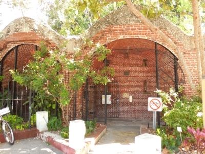
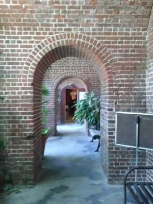
West Martello image. Click for full size.
Photographed By Marsha A. Matson, May 28, 2015
2. West Martello
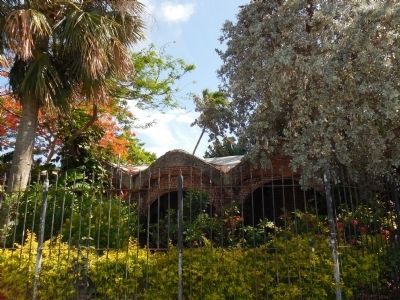
West Martello image. Click for full size.
Photographed By Marsha A. Matson, May 28, 2015
3. West Martello
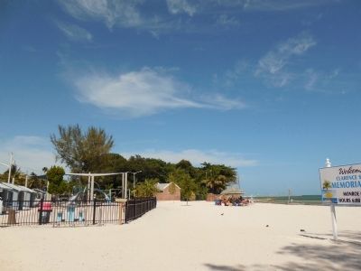
West Martello image. Click for full size.
Photographed By Marsha A. Matson, May 28, 2015
4. West Martello
West Martello image. Click for full size.
Photographed By Marsha A. Matson, May 28, 2015
5. West Martello
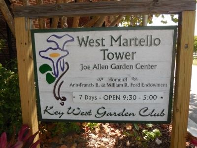
West Martello sign image. Click for full size.
Photographed By Marsha A. Matson, May 28, 2015
6. West Martello sign
 
 
Credits. This page was last revised on October 10, 2020. It was originally submitted on July 10, 2015, by Marsha A. Matson of Palmetto Bay, Florida. This page has been viewed 447 times since then and 18 times this year. Photos:   1, 2, 3, 4, 5, 6. submitted on July 10, 2015, by Marsha A. Matson of Palmetto Bay, Florida. • Bernard Fisher was the editor who published this page.
Share this page.  
Share on Tumblr
m=85261

CeraNet Cloud Computing sponsors the Historical Marker Database.
This website earns income from purchases you make after using our links to Amazon.com. We appreciate your support.
Paid Advertisement
Apr. 26, 2024