Mallorytown in Leeds and Grenville United Counties, Ontario — Central Canada (North America)
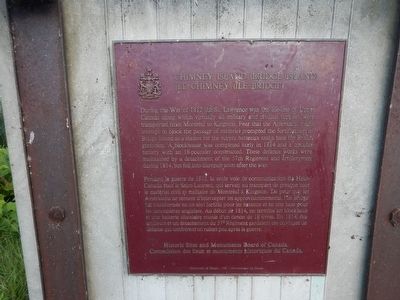
Chimney Island (Bridge Island)
Erected 1937 by Historic Sites and Monuments Board of Canada.
Topics. This historical marker is listed in these topic lists: War of 1812 • Waterways & Vessels. A significant historical year for this entry is 1812.
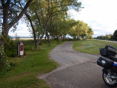
Location. 44° 28.187′ N, 75° 50.387′ W. Marker is in Mallorytown, Ontario, in Leeds and Grenville United Counties. Marker is on Thousand Islands Parkway, 2 kilometers east of Mallorytown Road, on the right when traveling east. Marker is located in a small parking area (no services). Touch for map. Marker is at or near this postal address: 1186 Thousand Islands Parkway, Mallorytown ON K0E 1R0, Canada. Touch for directions.
Other nearby markers. At least 8 other markers are within 6 kilometers of this marker, measured as the crow flies. The Macdonald Cartier Freeway (approx. 2.6 kilometers away); Canada's First Glassworks (approx. 3.1 kilometers away); The “Remembrance Road” Memorial (approx. 3.1 kilometers away); War Memorial (approx. 3.4 kilometers away); Mallorytown Glass Works (approx. 4 kilometers away); a different marker also named The Macdonald Cartier Freeway (approx. 4 kilometers away); The Thousand Islands (approx. 5.6 kilometers away in the U.S.); Singer Castle on Dark Island (approx. 5.6 kilometers away in the U.S.). Touch for a list and map of all markers in Mallorytown.
Also see . . . Parks Canada - Chimney Island. (Submitted on August 14, 2015, by Kevin Craft of Bedford, Quebec.)
Credits. This page was last revised on September 27, 2019. It was originally submitted on August 14, 2015, by Kevin Craft of Bedford, Quebec. This page has been viewed 401 times since then and 19 times this year. Photos: 1, 2, 3. submitted on August 14, 2015, by Kevin Craft of Bedford, Quebec.


