Allatoona in Bartow County, Georgia — The American South (South Atlantic)
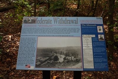
Confederate Withdrawal
"A shout of triumph rolled over those fields … Men grasped hands and shouted … and embraced each other. The wounded joined in the delirium of rejoicing. The dying looked to the Flag, still proudly floating above these hills…" History of the 93rd Illinois Volunteer Infantry
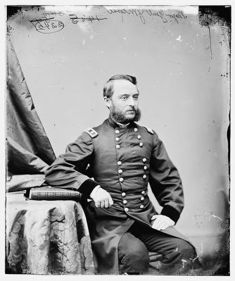
By early afternoon, surrender seemed near at hand as the Federals were pinned down, out of water, and nearly out of ammunition. At noon, General French received a message from calvary General Frank M. Armstrong, informing him that Federal troops were entering Big Shanty and advancing up the railroad towards Allatoona. French's troops were exhausted, nearly out of ammunition and fresh supplies would have to be hauled up the steep slopes before another assault could be attempted. Fearing he might be cut off from the main Confederate force at New Hope, French reluctantly chose to withdraw and by 3:30 p.m. was on the march down Sandtown Road, leaving Allatoona in Federal hands. He had lost a third of his Division. A heavy rain that evening they were misery to their march.
Once he and his fellow survivors were able to walk outside the Star Fort, Private Harvey M. Trimble of the 93rd Illinois Regiment described what he saw:
"The scene in that ravine [in front of the star Fort], after the battle was ended, was beyond all powers of description. All the languages of earth combined are inadequate to tell half its horrors. Mangled and torn in every conceivable manner, the dead and wounded were everywhere, in heaps and windrows. Enemies though they were, their conquerors, only a few minutes removed from the heat and passion of battle, sickened and turned away, or remaining, looked only with great compassion, and through tears, upon that field of blood and carnage and death, upon that wreck of high hopes and splendid courage, that hecatomb of human life… Their dead and wounded were scattered through the woods and ravines and gulches all around, and were continually found, and the dead buried, from day to day, until the 22nd of October."
"I went among the wounded men who could not walk over the rocky hills to our ambulances and explained to them why they would have to be left...They gave me thanks without complaint." General Samuel French, C.S.A.
(sidebar)
The Aftermath
When General French and his remaining forces reached the Confederate Army encamp near New Hope Church, he wrote:
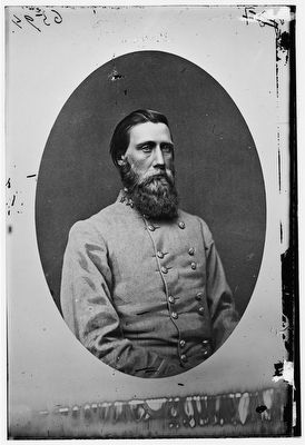
"When I called at headquarters, Hood/General John B./ reminded me of a disheartened man. His countenance was sad and his voice doleful. He received me with a melancholy air, and asked me questions; did not refer to the battle. He seemed much depressed in spirits."
When questioned from the signal station at Kennesaw about his wounds, Corse replied:
"I am short a cheek bone and one ear, but am able to whip all hell, yet. My losses are very heavy. A force moving from Stilesborough on Kingston gives me some anxiety. Tell me where Sherman is."
After a few more communications, Corse sent Lieutenant William Ludlow to Kennesaw Mountain to deliver his after action report. Ludlow found Sherman observing Hood's army through a telescope and asked Sherman:
"General, what do you think Hood is going to do?"
With irritation, Sherman replied,
"How the devil can I tell? Johnston now - Johnston [General Joseph E.] was a sensible man and did sensible things. Hood is a damned fool and is liable to do anything."
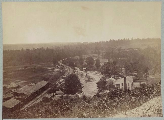
War continued into 1865; many more battles were fought before the Confederacy fell. At Allatoona, some men remained to guard a crucial railroad pass. Others, from both sides, were buried, but not forgotten after this "Needless Effusion of Blood."
Erected by Georgia State Parks & Historical Sites.
Topics. This historical marker is listed in this topic list: War, US Civil. A significant historical year for this entry is 1865.
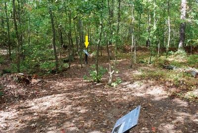
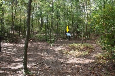
Location. 34° 6.908′ N, 84° 43.005′ W. Marker is in Allatoona, Georgia, in Bartow County. Marker can be reached from Old Alltatoona Road SE, 0.4 miles north of Allatoona Landing Road SE when traveling north. Marker is located on the Battle of Allatoona Pass Park Trail. Touch for map. Marker is at or near this postal address: 632 Old Allatoona Road SE, Cartersville GA 30121, United States of America. Touch for directions.
Other nearby markers. At least 8 other markers are within walking distance of this marker. Inside the Star Fort (a few steps from this marker); Assault On The Star Fort (within shouting distance of this marker); Rowett's Redoubt (within shouting distance of this marker); The Deep Cut (about 300 feet away, measured in a direct line); The Foot Bridge (about 400 feet away); Grave of the Unknown Hero (about 400 feet away); 4th Minnesota Regimental Headquarters (about 400 feet away); Military Service Road (about 400 feet away). Touch for a list and map of all markers in Allatoona.
Credits. This page was last revised on November 16, 2018. It was originally submitted on August 18, 2015, by Brandon Fletcher of Chattanooga, Tennessee. This page has been viewed 496 times since then and 28 times this year. Photos: 1, 2, 3, 4, 5, 6. submitted on August 18, 2015, by Brandon Fletcher of Chattanooga, Tennessee. • Bernard Fisher was the editor who published this page.
