Spring Hill in Maury County, Tennessee — The American South (East South Central)
Cleburne's Pursuit
4:30 - 5:00 p.m.
— November 29, 1864 —
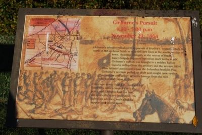
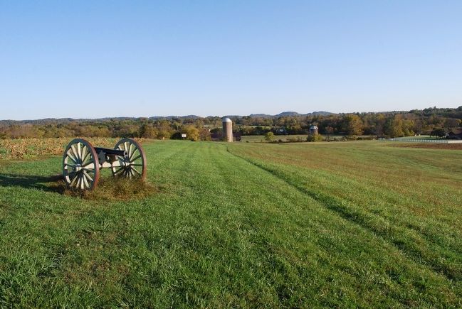
Cleburne's advance rolled north in pursuit of Bradley's brigade which fled north of McCutcheon Creek to establish new lines at the southern edge of town. Reacting promptly to the retreat of Bradley, Lane's brigade began to reposition itself to the south. Cleburne's pursuit was brought to a sudden halt by massive volleys from the artillery and the veteran 103rd Ohio Infantry positioned across the Columbia-Franklin Pike. Cleburne's veterans pulled up short and sought cover under an intense and deadly accurate barrage from the well positioned Union artillery.
It was now nearly 5:00 p.m., sunlight had faded into sunset (sunset was 4:49 p.m.), and Cleburne had run into unexpectedly heavy opposition. He halted his advance, and called for support and instructions.
Topics. This historical marker is listed in this topic list: War, US Civil.
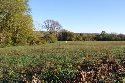
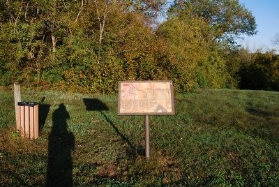
Location. 35° 44.326′ N, 86° 55.848′ W. Marker is in Spring Hill, Tennessee, in Maury County. Marker can be reached from the intersection of Kedron Road and Reserve Boulevard, on the left when traveling north. The battlefield trail loop begins at the Civil War Trails parking lot. Touch for map. Marker is at or near this postal address: 3525 Kedron Road, Spring Hill TN 37174, United States of America. Touch for directions.
Other nearby markers. At least 8 other markers are within walking distance of this marker. Cleburne's Attack (about 300 feet away, measured in a direct line); Federal Defense of Spring Hill (approx. 0.2 miles away); Confederate Deployment (approx. 0.2 miles away); Forrest's 3:00 p.m. Cavalry Attack (approx. 0.3 miles away); Ewell Farm (approx. 0.4 miles away); Left of the Union Defensive Position (approx. 0.4 miles away); Confederate Attacks at Spring Hill (approx. 0.4 miles away); Nashville and Decatur Railroad (approx. 0.4 miles away). Touch for a list and map of all markers in Spring Hill.
Also see . . .
1. The Battle of Spring Hill. Civil War Trust (Submitted on August 23, 2015.)
2. Battle of Spring Hill. City of Spring Hill, TN (Submitted on August 23, 2015.)
3. Battle of Spring Hill. Wikipedia (Submitted on August 23, 2015.)
Credits. This page was last revised on October 15, 2021. It was originally submitted on August 23, 2015, by Brandon Fletcher of Chattanooga, Tennessee. This page has been viewed 541 times since then and 10 times this year. Photos: 1, 2, 3, 4. submitted on August 23, 2015, by Brandon Fletcher of Chattanooga, Tennessee. • Bernard Fisher was the editor who published this page.


