Cody in Park County, Wyoming — The American West (Mountains)
Arland & Corbett
Indian Trading Post
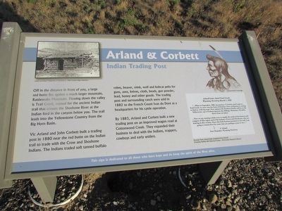
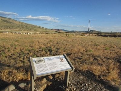
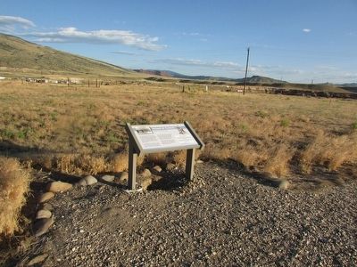
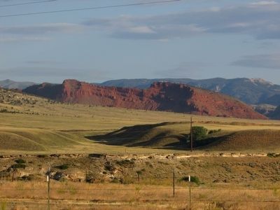
Off in the distance in front of you, a large red butte lies against a much larger mountain, Rattlesnake Mountain. Flowing down the valley is Trail Creek, named for the ancient Indian trail that crosses the Shoshone River at the Indian ford in the canyon below you. The trail leads into the Yellowstone Country from the Big Horn Basin.
Vic Arland and John Corbett built a trading post in 1880 near the red butte on the Indian trail to trade with the Crow and Shoshone Indians. The Indians traded soft tanned buffalo robes, beaver, mink, wolf and bobcat pelts for guns, axes, knives, cloth, beads, gun powder, lead, honey and other goods. The trading post and surrounding ranch were sold in 1882 to the French Count Ivan du Dore as a headquarters for his cattle operation.
By 1883, Arland and Corbett built a new trading post on an improved wagon road at Cottonwood Creek. They expanded their business to deal with the Indians, trappers, cowboys and early settlers.
< Sidebar : >
Wyoming Territory March 1, 1882
“ . . . When in September, 1880, my partner, J. Corbett, and I came to Trail Creek, we were very far from civilization. Now, civilization is coming to find us, with big steps. Next summer the Northern Pacific will be on the Yellowstone, up to Coulson (present day Billings, Montana), 125 miles direct from our place.
. . . Now we are running a little store to supply the needs of the hunters and trappers of this region and of the Indians – Crows and Shoshones, who are hunting in this vicinity. Since this little business promises to do well, I am going to remain here for some time yet, perhaps a year or two . . . ”
V. Arland
Fort Washakie, Wyoming Territory
Excerpts from Arland letter translated from French.
Topics. This historical marker is listed in these topic lists: Exploration • Native Americans • Settlements & Settlers. A significant historical date for this entry is March 1, 1979.
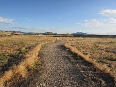
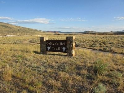
Location. 44° 30.923′ N, 109° 6.387′ W. Marker is in Cody, Wyoming, in Park County. Marker can be reached from W Yellowstone Avenue (U.S. 20), on the right when traveling west. Marker is located along the Colterís Hell Trail. Touch for map. Marker is in this post office area: Cody WY 82414, United States of America. Touch for directions.
Other nearby markers. At least 8 other markers are within walking distance of this marker. Stone Circles (within shouting distance of this marker); Lee Street Ė Cody City (within shouting distance of this marker); William Garlow Cody (about 300 feet away, measured in a direct line); The American Mountain Man (about 300 feet away); Belle Drewry (about 300 feet away); W.A. Gallagher and Blind Bill (about 300 feet away); Sampson E. Stilwell (about 300 feet away); Phillip H. Vetter (about 300 feet away). Touch for a list and map of all markers in Cody.
More about this marker. A photograph of the “Arland and Corbett Trading Post at Trail Creek ca. 1900” appears at the upper left of the marker. A picture of a Crow Warrior is above the sidebar on the right of the marker.
Related markers. Click here for a list of markers that are related to this marker. See all the markers along the Colterís Hell Trail.
Credits. This page was last revised on June 16, 2016. It was originally submitted on August 23, 2015, by Bill Coughlin of Woodland Park, New Jersey. This page has been viewed 489 times since then and 13 times this year. Photos: 1, 2, 3, 4, 5, 6. submitted on August 23, 2015, by Bill Coughlin of Woodland Park, New Jersey.
