Fredericksburg, Virginia — The American South (Mid-Atlantic)
The Second Battle of Fredericksburg
Fredericksburg and Spotsylvania National Military Park
— National Park Service, U.S. Department of the Interior —
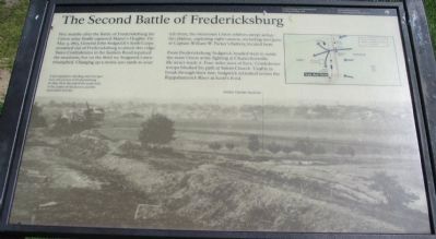
From Fredericksburg, Sedgwick headed west to assist the main Union army, fighting at Chancellorsville. He never made it. Four miles west of here, Confederate troops blocked his path at Salem Church. Unable to break through their line, Sedgwick retreated across the Rappahannock River at Scott's Ford.
Erected by National Park Service, U.S. Department of the Interior.
Topics. This historical marker is listed in this topic list: War, US Civil. A significant historical date for this entry is May 5, 1863.
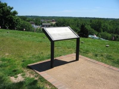
Location. 38° 17.518′ N, 77° 28.124′ W. Marker is in Fredericksburg, Virginia. Marker can be reached from Lafayette Boulevard (State Highway 1). Located on the Marye's Heights walking trail, which starts at the Fredericksburg battlefield visitor center. The Sunken Road is closed to vehicle traffic. Touch for map. Marker is in this post office area: Fredericksburg VA 22401, United States of America. Touch for directions.
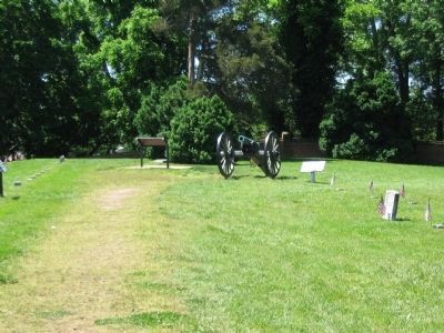
Other nearby markers. At least 8 other markers are within walking distance of this marker. Parker's Battery (a few steps from this marker); Col. Joseph A. Moesch (about 300 feet away, measured in a direct line); Andrew Atkinson Humphreys (about 300 feet away); Decoration Day (about 500 feet away); Battles of Fredericksburg (about 500 feet away); The Fifth Corps, Army of the Potomac (about 500 feet away); 127th Regiment Pennsylvania Volunteer Infantry (about 500 feet away); The Sunken Road (about 600 feet away). Touch for a list and map of all markers in Fredericksburg.
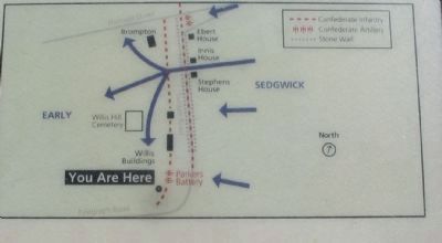
More about this marker. The background of the marker is a wartime photo (duplicated on the nearby Field of Battle marker). It is captioned, A photographer standing near this spot took this picture of Fredericksburg in 1864. Note the end of the stone wall, in the center of the picture, and the open plain beyond. On the upper right is a map detailing the Federal attacks during the Second Battle of Fredericksburg.
Related markers. Click here for a list of markers that are related to this marker. Second Battle of Fredericksburg virtual tour by markers.
Also see . . . Marye's Heights. National Park Service (Submitted on July 5, 2008, by Craig Swain of Leesburg, Virginia.)
Credits. This page was last revised on March 13, 2023. It was originally submitted on July 5, 2008, by Craig Swain of Leesburg, Virginia. This page has been viewed 2,648 times since then and 32 times this year. Last updated on March 12, 2023, by Carl Gordon Moore Jr. of North East, Maryland. Photos: 1, 2, 3, 4, 5. submitted on July 5, 2008, by Craig Swain of Leesburg, Virginia. • Bernard Fisher was the editor who published this page.
