Watford City in McKenzie County, North Dakota — The American Midwest (Upper Plains)
Edge of a Glacier
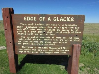
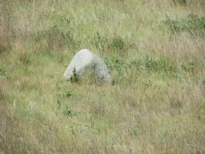
These small boulders are clues to a fascinating story. Geologists believe they were ripped from bedrock 400 miles north in Canada and carried to this point by a great glacier which covered nearly all North America north and east of here.
The ice melted thousands of years ago, but these rocks, called “erratics” because they are “out of place”, are clear evidence the glacier once covered the ground upon which you stand.
The course of the Little Missouri and Missouri Rivers from here east marks the southern edge of the glacier that dropped these rocks.
Erected by National Park Service.
Topics. This historical marker is listed in this topic list: Natural Features.
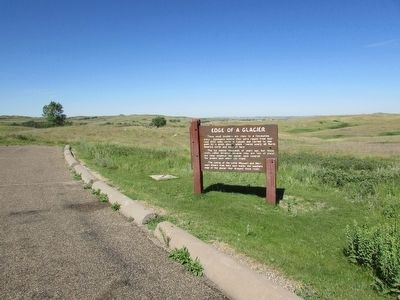
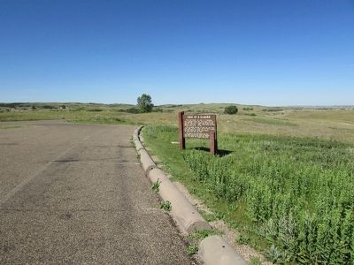
Location. 47° 36.676′ N, 103° 26.042′ W. Marker is in Watford City, North Dakota, in McKenzie County. Marker is on Scenic Drive, on the right when traveling north. Marker is located at the Edge of Glacier Pullout in the North Unit of Theodore Roosevelt National Park. Touch for map. Marker is in this post office area: Watford City ND 58854, United States of America. Touch for directions.
Other nearby markers. At least 8 other markers are within 5 miles of this marker, measured as the crow flies. Roosevelt and the Boat Thieves (approx. 0.7 miles away); Man and Grass (approx. 2.3 miles away); Building From Hard Times (approx. 2.6 miles away); The View that Launched a Park (approx. 2.6 miles away); Bentonitic Clay (approx. 2.7 miles away); North Dakota Badlands (approx. 4.1 miles away); Long X Cattle Trail (approx. 4.2 miles away); “Cannon Ball” Concretions (approx. 4.9 miles away). Touch for a list and map of all markers in Watford City.
Credits. This page was last revised on June 16, 2016. It was originally submitted on September 14, 2015, by Bill Coughlin of Woodland Park, New Jersey. This page has been viewed 447 times since then and 27 times this year. Photos: 1, 2, 3, 4. submitted on September 14, 2015, by Bill Coughlin of Woodland Park, New Jersey.


