Near Centreville in Fairfax County, Virginia — The American South (Mid-Atlantic)
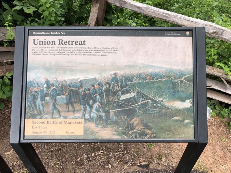
Union Retreat
Second Battle of Manassas - Day Three
— August 30, 1862 - 9 p.m. —
Erected by National Park Service, U.S. Department of the Interior.
Topics. This historical marker is listed in this topic list: War, US Civil. A significant historical date for this entry is August 30, 1862.
Location. 38° 49.47′ N, 77° 30.19′ W. Marker is near Centreville, Virginia, in Fairfax County. Marker can be reached from U.S. 29, 0.1 miles west of Paddington Lane, on the right when traveling west. The marker is at the Stone Bridge trailhead area, at the intersection of Paddington Lane and Lee Highway (previously the Warrenton Turnpike, also 29). Touch for map. Marker is at or near this postal address: 16020 Lee Hwy, Centreville VA 20121, United States of America. Touch for directions.
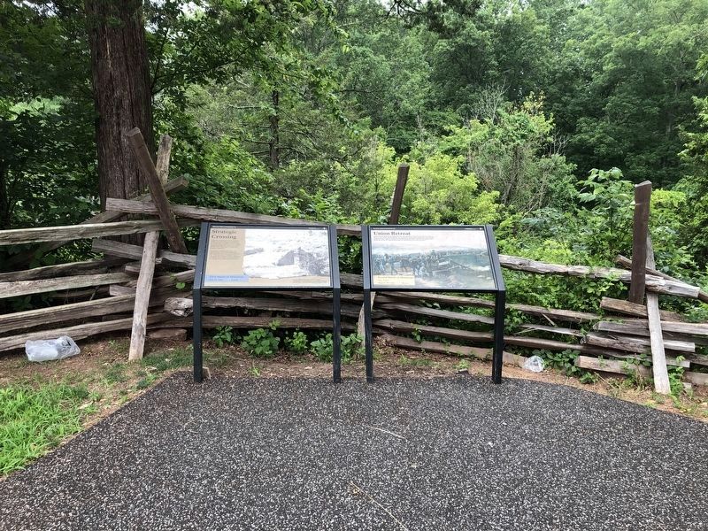
Other nearby markers. At least 8 other markers are within walking distance of this marker. Strategic Crossing (here, next to this marker); Stone Bridge (about 300 feet away, measured in a direct line); Fairfax County / Prince William County (approx. 0.4 miles away); a different marker also named The Stone Bridge (approx. 0.4 miles away); Opening Shots (approx. 0.4 miles away); 4th South Carolina Infantry (approx. 0.4 miles away); a different marker also named Opening Shots (approx. 0.4 miles away); Farm Ford (approx. 0.4 miles away). Touch for a list and map of all markers in Centreville.

Photographed By Devry Becker Jones (CC0), July 5, 2020
2. Strategic Crossing and Union Retreat markers
Credits. This page was last revised on May 2, 2023. It was originally submitted on September 17, 2015, by J. Makali Bruton of Accra, Ghana. This page has been viewed 668 times since then and 19 times this year. Photos: 1, 2. submitted on July 5, 2020, by Devry Becker Jones of Washington, District of Columbia. 3. submitted on April 29, 2023, by Bill Coughlin of Woodland Park, New Jersey.

