Madisonville in Hopkins County, Kentucky — The American South (East South Central)
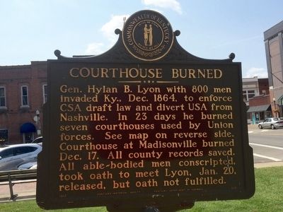
Courthouse Burned
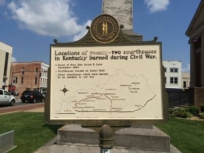
Reverse side map of: Locations of twenty-two courthouses in Kentucky burned during Civil War.
Erected 1963 by the Kentucky Historical Society Kentucky Department of Highways. (Marker Number 580.)
Topics and series. This historical marker is listed in these topic lists: Notable Buildings • War, US Civil. In addition, it is included in the Kentucky Historical Society series list. A significant historical date for this entry is December 17, 1864.
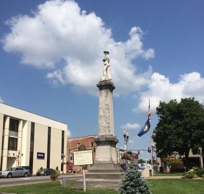
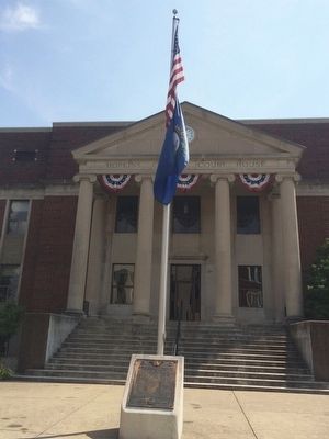
Location. 37° 19.662′ N, 87° 29.926′ W. Marker is in Madisonville, Kentucky, in Hopkins County. Marker is at the intersection of South Main Street (Kentucky Route 70) and Court Street, on the right when traveling north on South Main Street. Touch for map. Marker is at or near this postal address: 30 South Main Street, Madisonville KY 42431, United States of America. Touch for directions.
Other nearby markers. At least 8 other markers are within walking distance of this marker. County Named, 1806 (within shouting distance of this marker); Gov. Ruby Laffoon (about 500 feet away, measured in a direct line); Dr. Thomas Wright Gardiner House (approx. 0.2 miles away); Turner Ruby House (approx. ¼ mile away); The Hockersmith House (approx. ¼ mile away); Chittenden P. Lyon, Jr. House (approx. ¼ mile away); Carlow's Stone Wall (approx. ¼ mile away); Harvey-Bassett House (approx. 0.3 miles away). Touch for a list and map of all markers in Madisonville.
Credits. This page was last revised on June 16, 2016. It was originally submitted on September 23, 2015, by Mark Hilton of Montgomery, Alabama. This page has been viewed 513 times since then and 57 times this year. Photos: 1, 2, 3, 4. submitted on September 23, 2015, by Mark Hilton of Montgomery, Alabama.


