Madisonville in Hopkins County, Kentucky — The American South (East South Central)
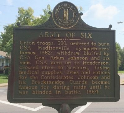
Army of Six
Erected 1967 by the Kentucky Historical Society Kentucky Department of Highways. (Marker Number 1103.)
Topics and series. This historical marker is listed in this topic list: War, US Civil. In addition, it is included in the Kentucky Historical Society series list. A significant historical year for this entry is 1862.
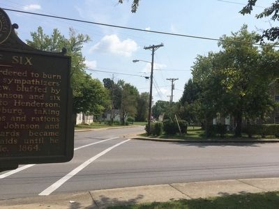
Location. 37° 19.861′ N, 87° 30.46′ W. Marker is in Madisonville, Kentucky, in Hopkins County. Marker is at the intersection of West Arch Street and North Spring Street, on the left when traveling west on West Arch Street. Touch for map. Marker is at or near this postal address: 357 West Arch Street, Madisonville KY 42431, United States of America. Touch for directions.
Other nearby markers. At least 8 other markers are within walking distance of this marker. Zion Temple A.M.E. Zion Church (approx. 0.2 miles away); Harvey-Bassett House (approx. 0.3 miles away); Dr. Thomas Wright Gardiner House (approx. 0.4 miles away); Courthouse Burned (approx. half a mile away); County Named, 1806 (approx. 0.6 miles away); Gov. Ruby Laffoon (approx. 0.6 miles away); Turner Ruby House (approx. 0.7 miles away); Chittenden P. Lyon, Jr. House (approx. 0.7 miles away). Touch for a list and map of all markers in Madisonville.
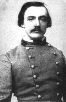
Also see . . . Wikipedia article on General Johnson. (Submitted on September 24, 2015, by Mark Hilton of Montgomery, Alabama.)
Credits. This page was last revised on October 30, 2020. It was originally submitted on September 24, 2015, by Mark Hilton of Montgomery, Alabama. This page has been viewed 600 times since then and 36 times this year. Photos: 1, 2, 3, 4, 5. submitted on September 24, 2015, by Mark Hilton of Montgomery, Alabama.
