Fort Oglethorpe in Walker County, Georgia — The American South (South Atlantic)
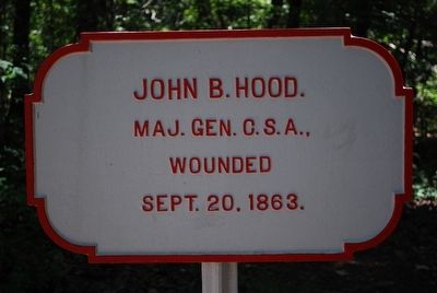
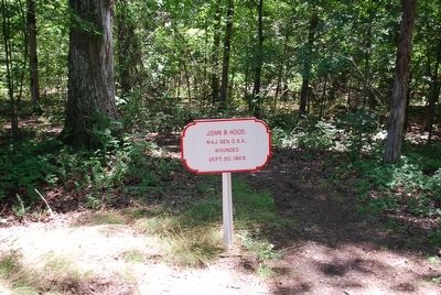
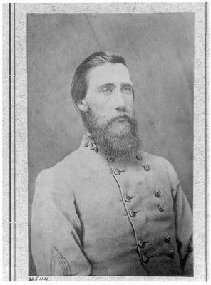
John B. Hood
(main marker)
Maj. Gen, C.S.A.,
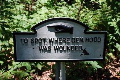
Wounded
Sept. 20, 1863.
Was Wounded.
Erected 1890 by the Chickamauga and Chattanooga National Military Park Commission. (Marker Number MT-448.)
Topics. This historical marker is listed in this topic list: War, US Civil. A significant historical date for this entry is September 20, 1863.
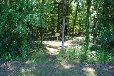
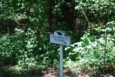
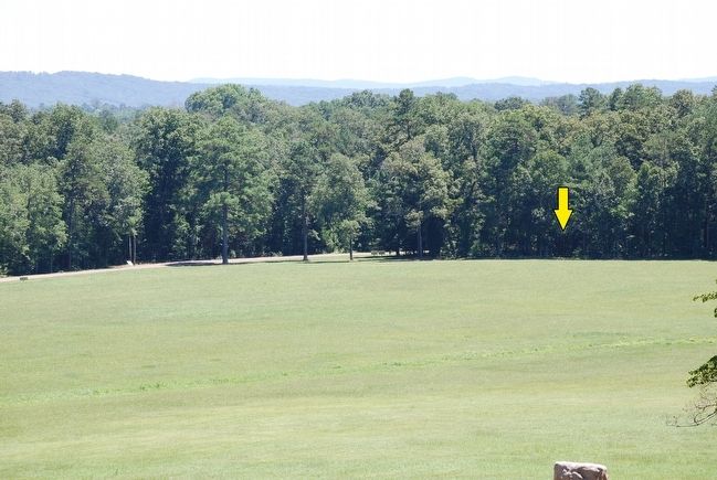
Location. 34° 55.195′ N, 85° 15.935′ W. Marker is in Fort Oglethorpe, Georgia, in Walker County. Marker can be reached from Vittetoe Chickamauga Road north of Dyer Road, on the left when traveling north. From the roadside trail follow the sign "To the Spot Where Gen. Hood was Wounded.". Touch for map. Marker is in this post office area: Chickamauga GA 30707, United States of America. Touch for directions.
Other nearby markers. At least 8 other markers are within walking distance of this marker. The Wounding of Hood Site (within shouting distance of this marker); Longstreet's Corps (within shouting distance of this marker); Hood's Headquarters Shell Monument (about 300 feet away, measured in a direct line); Bledsoe's C.S.A. Missouri Battery (about 300 feet away); Croxton's Brigade. (about 400 feet away); Kershaw's Brigade (about 400 feet away); Van Derveer's Brigade (about 600 feet away); Brannan's Division (about 700 feet away). Touch for a list and map of all markers in Fort Oglethorpe.
Also see . . .
1. John Bell Hood - Civil War Trust. (Submitted on September 24, 2015, by Brandon Fletcher of Chattanooga, Tennessee.)
2. Chickamauga and Chattanooga National Military Park. National Park Service (Submitted on September 25, 2015.)
Credits. This page was last revised on July 3, 2017. It was originally submitted on September 24, 2015, by Brandon Fletcher of Chattanooga, Tennessee. This page has been viewed 421 times since then and 37 times this year. Photos: 1, 2, 3, 4, 5, 6, 7, 8. submitted on September 24, 2015, by Brandon Fletcher of Chattanooga, Tennessee. • Bernard Fisher was the editor who published this page.
