Vicksburg National Military Park in Warren County, Mississippi — The American South (East South Central)
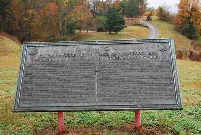
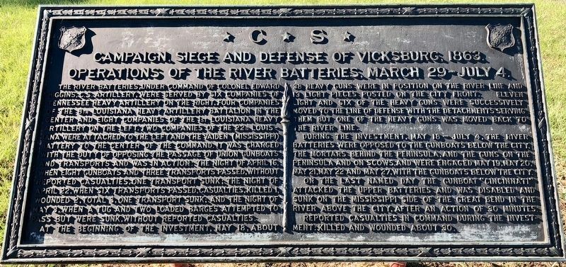
Campaign, Siege and Defense of Vicksburg, 1863.
Operations of the River Batteries, March 29-July 4.
— *C*S* —
Inscription.
The river batteries, under command of Colonel Edward Higgins, C.S. Artillery, were served by six companies of Tennessee Heavy Artillery on the right, four companies of the 8th Louisiana Heavy Artillery Battalion in the center and eight companies of the 1st Louisiana Heavy Artillery on the left. Two companies of the 22d Louisiana were attached to the left and Vaiden (Mississippi) Battery to the center of the command. It was charged with the duty of opposing the passage of Union gunboats and transports and was in action: the night of April 16, when eight gunboats and three transports passed, without reported casualties, one transport sunk; the night of April 22, when six transports passed, casualties, killed 1, wounded 2, total 3, one transport sunk; and the night of May 3, when a tug and two loaded barges attempted to pass but were sunk, without reported casualties.
At the beginning of the investment, May 18, about 38 heavy guns were in position on the river line and 13 light pieces posted on the city front. Eleven light and six of the heavy guns were successively moved to the line of defense with the detachments serving them but one of the heavy guns was moved back to the river line.
During the investment, May 18 - July 4, the river batteries were opposed to the gunboats below the city. The mortars behind the peninsula, and the guns on the peninsula and on scows, and were engaged May 19, May 20, May 21, May 22 and May 27, with the gunboats below the city.
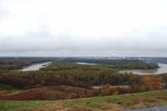
On the last named day the gunboat "Cincinnati" attacked the upper batteries and was disabled and sunk on the Mississippi side of the great bend in the river above the city, after an action of 30 minutes.
Reported casualties in command during the investment: Killed and wounded about 30.
Topics. This historical marker is listed in this topic list: War, US Civil. A significant historical year for this entry is 1863.
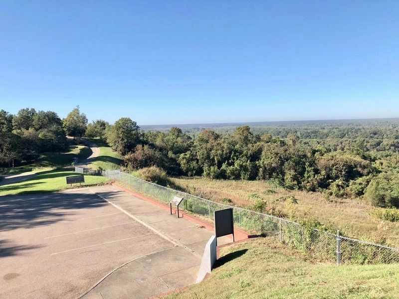
Location. 32° 22.183′ N, 90° 52.177′ W. Marker is in Vicksburg National Military Park, Mississippi, in Warren County. Marker is on Confederate Avenue, 0.1 miles north of Connecting Avenue, on the left when traveling north. Located in Vicksburg National Military Park. Touch for map. Marker is in this post office area: Vicksburg MS 39183, United States of America. Touch for directions.
Other nearby markers. At least 8 other markers are within walking distance of this marker. A Stronghold on the Bluffs (a few steps from this marker); Explore the Defenses (within shouting distance of this marker); Tennessee River Batteries (within shouting distance of this marker); C.S. Johnston's Company, (within shouting distance of this marker); C.S. Company B, (within shouting distance of this marker); Mississippi 14th Light Art. Battalion (about 400 feet away, measured in a direct line); C.S. Company C, (about 400 feet away); Mississippi 6th Infantry (Detachment) (about 500 feet away). Touch for a list and map of all markers in Vicksburg National Military Park.
Also see . . . Vicksburg National Military Park. National Park Service (Submitted on September 28, 2015.)
Credits. This page was last revised on November 30, 2017. It was originally submitted on September 27, 2015, by Brandon Fletcher of Chattanooga, Tennessee. This page has been viewed 659 times since then and 27 times this year. Photos: 1. submitted on September 27, 2015, by Brandon Fletcher of Chattanooga, Tennessee. 2, 3. submitted on November 14, 2017, by Mark Hilton of Montgomery, Alabama. 4. submitted on September 27, 2015, by Brandon Fletcher of Chattanooga, Tennessee. • Bernard Fisher was the editor who published this page.


