Westerville in Franklin County, Ohio — The American Midwest (Great Lakes)
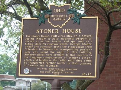
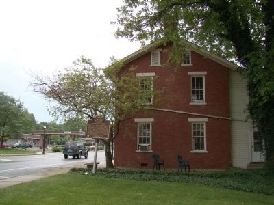
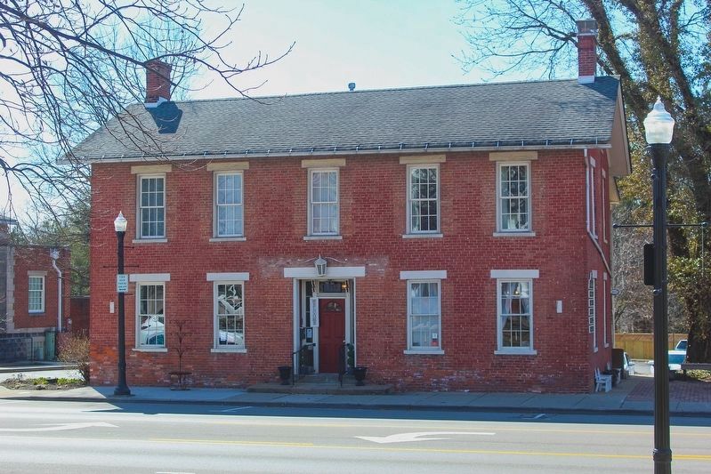
Stoner House
Erected 2003 by the Ohio Bicentennial Commission, the P&G Fund, The Ohio Historical Society. (Marker Number 46-25.)
Topics and series. This historical marker is listed in these topic lists: Abolition & Underground RR • African Americans. In addition, it is included in the Ohio Historical Society / The Ohio History Connection series list. A significant historical year for this entry is 1862.
Location. 40° 7.351′ N, 82° 55.83′ W. Marker is in Westerville, Ohio, in Franklin County. Marker is on South State Street (Ohio Route 3) south of Plum Street, on the right when traveling south. Touch for map. Marker is at or near this postal address: 133 S State St, Westerville OH 43081, United States of America. Touch for directions.
Other nearby markers. At least 8 other markers are within walking distance of this marker. Agnes Meyer Driscoll (within shouting distance of this marker); Westerville (within shouting distance of this marker); Veterans Memorial (approx. 0.2 miles away); Heritage Green Park (approx. 0.2 miles away); Temperance Row Historic District (approx. 0.3 miles away); In Memory of Benjamin R. Hanby (approx. 0.3 miles away); Benjamin Russell Hanby (approx. 0.3 miles away); Otterbein College (approx. 0.4 miles away). Touch for a list and map of all markers in Westerville.
Additional keywords. The Underground Railroad
Credits. This page was last revised on May 15, 2023. It was originally submitted on July 13, 2008, by J. J. Prats of Powell, Ohio. This page has been viewed 2,935 times since then and 154 times this year. Photos: 1, 2. submitted on July 13, 2008, by J. J. Prats of Powell, Ohio. 3. submitted on May 14, 2023, by Alex Krempasky of Obetz, Ohio.


