Butler in Morris County, New Jersey — The American Northeast (Mid-Atlantic)
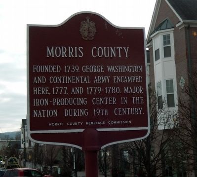
Morris County
Erected 1979 by Morris County Heritage Commission.
Topics. This historical marker is listed in these topic lists: Colonial Era • Industry & Commerce • Settlements & Settlers. A significant historical year for this entry is 1739.
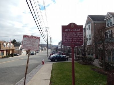
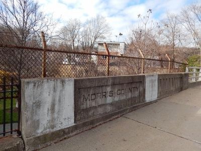
Location. 41° 0.371′ N, 74° 20.606′ W. Marker is in Butler, New Jersey, in Morris County. Marker is on Main Street. The marker is south-east of the Morris County Bridge and Hamburg Turnpike (NJ 694). Touch for map. Marker is in this post office area: Butler NJ 07405, United States of America. Touch for directions.
Other nearby markers. At least 8 other markers are within walking distance of this marker. Butler Railroad Station (about 800 feet away, measured in a direct line); American Hard Rubber Company (approx. 0.3 miles away); Butler Vietnam War Memorial (approx. 0.4 miles away); September 11, 2001 (approx. 0.4 miles away); Korean War (approx. 0.4 miles away); Park Place Veterans Park (approx. 0.4 miles away); Vietnam War (approx. ¾ mile away); a different marker also named Korean War (approx. ¾ mile away). Touch for a list and map of all markers in Butler.
Credits. This page was last revised on February 22, 2022. It was originally submitted on December 13, 2015, by Don Morfe of Baltimore, Maryland. This page has been viewed 252 times since then and 13 times this year. Last updated on February 18, 2022, by Carl Gordon Moore Jr. of North East, Maryland. Photos: 1, 2, 3. submitted on December 13, 2015, by Don Morfe of Baltimore, Maryland. • J. Makali Bruton was the editor who published this page.


