Near Santa Anna in Coleman County, Texas — The American South (West South Central)
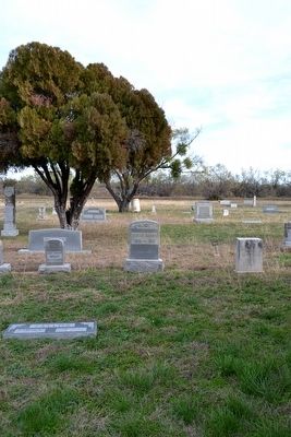
Shields Cemetery
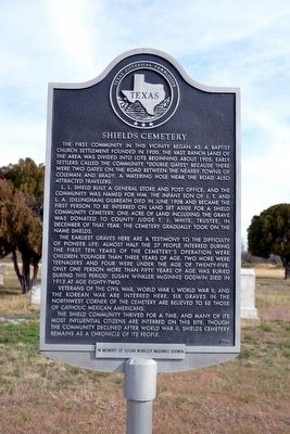
L.L. Shield built a general store and post office, and the community was named for him. The infant son of J.T. and L.A. (Dillingham) Gilbreath died in June 1908 and became the first person to be interred on land set aside for a Shield community cemetery. One acre of land including the grave was donated to County Judge T.J. White, trustee, in December of that year. The cemetery gradually took on the name Shields.
The earliest graves here are a testimony to the difficulty of pioneer life: almost half the 37 people interred during the first ten years of the cemetery’s operation were children younger than three years of age. Two more were teenagers and four were under the age of twenty-five. Only one person more than fifty years of age was buried during this period: Susan Winkler McGinnis Godwin died in 1913 at age eighty-two.
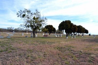
Veterans of the Civil War, World War I, World War II, and the Korean War are interred here. Six graves in the northwest corner of the cemetery are believed to be those of Catholic Mexican Americans.
The Shield community thrived for a time, and many of its most influential citizens are interred on this site. Though the community declined after World War II, Shields Cemetery remains as a chronicle of its people.
Erected 1999 by Texas Historical Commission. (Marker Number 11813.)
Topics. This historical marker is listed in these topic lists: Cemeteries & Burial Sites • Settlements & Settlers. A significant historical year for this entry is 1900.
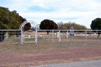
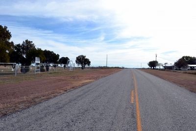
Location. 31° 36.022′ N, 99° 25.486′ W. Marker is near Santa Anna, Texas, in Coleman County. Marker is on Farm to Market Road 2131, half a mile north of Farm to Market Road 1026, on the right when traveling north. Touch for map. Marker is in this post office area: Gouldbusk TX 76845, United States of America. Touch for directions.
Other nearby markers. At least 8 other markers are within 12 miles of this marker, measured as the crow flies. Site of Flat Top Settlement (approx. 10˝ miles away); The Turner House (approx. 11.3 miles away); First Christian Church of Santa Anna (approx. 11.3 miles away); Santa Anna Cemetery (approx. 11.3 miles away); John R. Banister (approx. 11.4 miles away); Emma Daugherty Banister (approx. 11.4 miles away); Town of Trickham
(approx. 11.4 miles away); Mr. and Mrs. W.P. Williams (approx. 11.4 miles away). Touch for a list and map of all markers in Santa Anna.
More about this marker. A plate attached to the bottom of the marker reads, “In memory of Susan Winkler McGinnis Godwin”.
Also see . . .
1. Shields Cemetery - findagrave.com. (Submitted on December 20, 2015.)
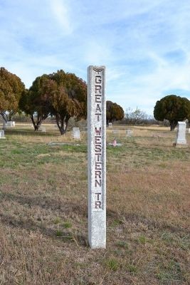
2. Western Trail. From the Texas State Historical Association’s “Handbook of Texas Online”. (Submitted on December 20, 2015.)
Credits. This page was last revised on June 16, 2016. It was originally submitted on December 20, 2015, by Duane Hall of Abilene, Texas. This page has been viewed 424 times since then and 22 times this year. Photos: 1, 2, 3, 4, 5, 6. submitted on December 20, 2015, by Duane Hall of Abilene, Texas.
