Near Doss in Gillespie County, Texas — The American South (West South Central)
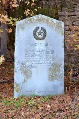
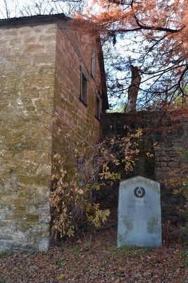
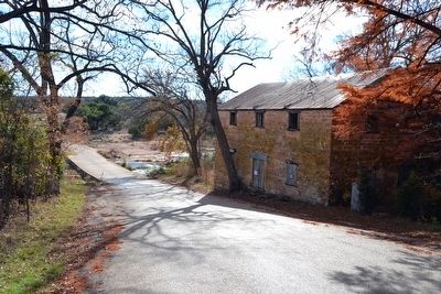
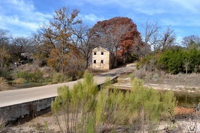
Lange's Mill
Erected 1936 by State of Texas. (Marker Number 10068.)
Topics and series. This historical marker is listed in these topic lists: Industry & Commerce • Native Americans. In addition, it is included in the Texas 1936 Centennial Markers and Monuments series list. A significant historical year for this entry is 1849.
Location. 30° 28.605′ N, 99° 7.452′ W. Marker is near Doss, Texas, in Gillespie County. Marker is on Langes Mill Road, half a mile east of Ranch to Market Road 783, on the right when traveling east. Touch for map. Marker is in this post office area: Doss TX 78618, United States of America. Touch for directions.
Other nearby markers. At least 8 other markers are within 9 miles of this marker, measured as the crow flies. St. Peter Lutheran Church (approx. 2.2 miles away); Squaw Creek Primitive Baptist Church (approx. 2.2 miles away); John O. Meusebach (approx. 6.9 miles away); The Marschall - Meusebach Cemetery (approx. 7˝ miles away); Bethel M.E. Church (approx. 7.7 miles away); Diedrich Rode Complex (approx. 8.3 miles away); Christ Evangelical Lutheran Church (approx. 8.4 miles away); Old Cherry Spring School (approx. 8.6 miles away). Touch for a list and map of all markers in Doss.
Also see . . . Lange's Mill, TX. From the Texas State Historical Association’s “Handbook of Texas Online”. (Submitted on December 20, 2015.)
Credits. This page was last revised on June 16, 2016. It was originally submitted on December 20, 2015, by Duane Hall of Abilene, Texas. This page has been viewed 1,025 times since then and 133 times this year. Photos: 1, 2, 3, 4. submitted on December 20, 2015, by Duane Hall of Abilene, Texas.


