Williamsport in Washington County, Maryland — The American Northeast (Mid-Atlantic)
Doubleday Hill
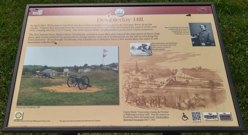
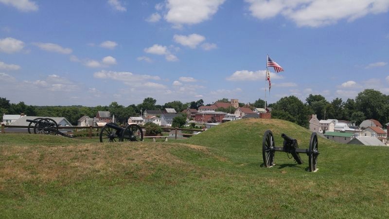
The Fort Sumter here, Major Abner Doubleday arrived in June 1861 and ordered the placement of three siege guns, and construction of an ammunition storage bunker and other fortifications on the hill overlooking the town and river. Even though Doubleday was transferred to Harpers Ferry a few weeks later, his name is still associated with the hill.
[text with photo upper right] Abner Doubleday (erroneously credited with the invention of baseball) in 1862, as a Brigadier General.
[text with photo in center] The fortifications on Doubleday Hill were recreated in the early 20th century, as seen in this photograph.
[text with photo in lower right] General Banks' Union army crossing the Potomac at Williamsport in June 1862. Note the cannon on Doubleday Hill in the background.
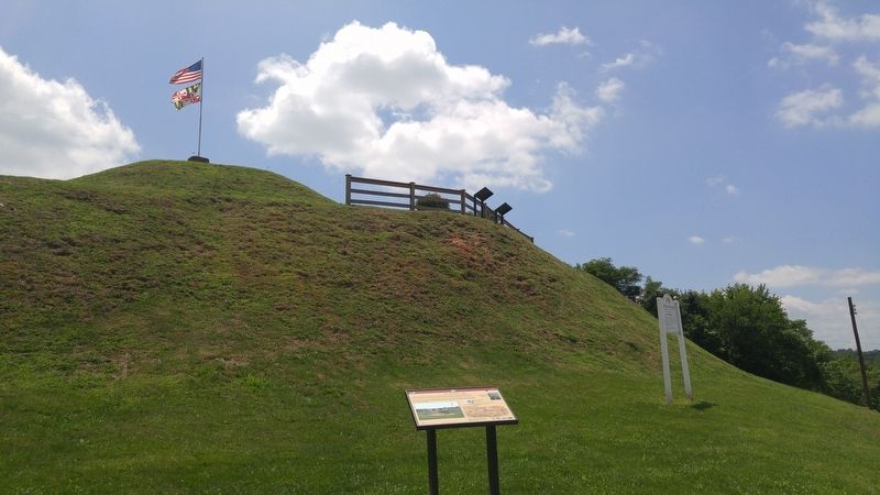
[text with photo lower left] Present day Doubleday Hill
Erected by Williamsport Rotary Club.
Topics and series. This historical marker is listed in this topic list: War, US Civil. In addition, it is included in the Rotary International series list. A significant historical year for this entry is 1861.
Location. 39° 35.939′ N, 77° 49.504′ W. Marker is in Williamsport, Maryland, in Washington County. Marker is at the intersection of Salisbury Street and Commerce Street, on the left when traveling west on Salisbury Street. Touch for map. Marker is in this post office area: Williamsport MD 21795, United States of America. Touch for directions.
Other nearby markers. At least 8 other markers are within walking distance of this marker. Abner Doubleday (a few steps from this marker); a different marker also named Doubleday Hill (within shouting distance of this marker); Light's Ford and Lemen's Ferry (within shouting distance of this marker); The C&O Canal in the Civil War at Williamsport (about 300 feet away, measured in a direct line); River View Cemetery (about 300 feet away); Boats Passing By (about 400 feet away); The Bowie List (about 600 feet away); Welcome to Williamsport (about 600 feet away). Touch for a list and map of all markers in Williamsport.
Credits. This page was last revised on April 17, 2021. It was originally submitted on June 30, 2016, by F. Robby of Baltimore, Maryland. This page has been viewed 421 times since then and 20 times this year. Photos: 1, 2, 3. submitted on June 30, 2016, by F. Robby of Baltimore, Maryland.


